- Usage in publication:
-
- Asherville alluvium
- Modifications:
-
- Original reference
- Dominant lithology:
-
- Sand
- AAPG geologic province:
-
- Upper Mississippi embayment
Summary:
Pg. 38-41. Asherville alluvium. Composed of reddish, angular sand grains, with a small amount of red to light-brown clay. Thickness varies from 18 to 80 feet. Overlies Powell(?) and Ripley formations and also loess. Age is Pleistocene(?).
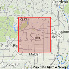
Found in vicinity of Asherville, in sec. 15, T. 26 N., R. 8 E., Puxico quadrangle [Stoddard Co.] southeastern MO.
Source: US geologic names lexicon (USGS Bull. 1200, p. 149).
For more information, please contact Nancy Stamm, Geologic Names Committee Secretary.
Asterisk (*) indicates published by U.S. Geological Survey authors.
"No current usage" (†) implies that a name has been abandoned or has fallen into disuse. Former usage and, if known, replacement name given in parentheses ( ).
Slash (/) indicates name conflicts with nomenclatural guidelines (CSN, 1933; ACSN, 1961, 1970; NACSN, 1983, 2005, 2021). May be explained within brackets ([ ]).

