The National Geologic Map Database is migrating to a new infrastructure. We apologize for any service disruptions during this process.
|
|---|


- Usage in publication:
-
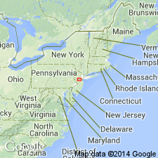
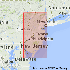
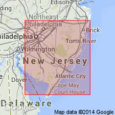
- Asbury clay
- Modifications:
-
- Original reference
- Dominant lithology:
-
- Clay
- AAPG geologic province:
-
- Atlantic Coast basin
Summary:
Pg. 145. Asbury clay. Dark clay with thin laminae of sand. Thickness 0 to 12 feet. Believed to lie below the great mass of "fluffy sand," which underlies Alloway clay in Gloucester and Salem Counties, New Jersey. Present in Monmouth County, but absent in Burlington County and southwest to Salem County. Not certainly known whether Asbury clay forms a single well-defined bed of wide extent and varying thickness, or is a series of overlapping lenses, some thin, some thick, separated by beds of fine, loose, light sand, all occupying about same general horizon. Evidence seems most to favor latter view. Rests unconformably on Eocene marl. Age is late Miocene.
Named from development just west of Asbury Park, Monmouth Co., eastern NJ.
[GNC remark (ca. 1936, US geologic names lexicon, USGS Bull. 896, p. 79): Is a part of Kirkwood formation.]
Source: US geologic names lexicon (USGS Bull. 896, p. 79).
- Usage in publication:
-
- Asbury Park Member
- Modifications:
-
- Overview
- AAPG geologic province:
-
- Atlantic Coast basin
Summary:
On basis of lithology, the Kirkwood Formation is subdivided into three members: Alloway clay member, Asbury Park member, and Sand facies. The Alloway clay and Asbury Park members are basal units within the formation, whereas the Sand facies interfingers with and overlies both basal members.
Source: GNU records (USGS DDS-6; Reston GNULEX).
- Usage in publication:
-
- Asbury Park Member
- Modifications:
-
- Principal reference
- Dominant lithology:
-
- Sand
- Silt
- Clay
- AAPG geologic province:
-
- Atlantic Coast basin
Summary:
Asbury Park Member of Kirkwood Formation. Formerly called Asbury clay [by Kummel and Knapp (1904); author cites Ries and others, 1904 (reference unavailable)]. Clay minerals and clay sized sediments rarely make up more than 25 percent of a given sample and therefore it is proposed that the term Asbury Clay be dropped and Asbury Park Member substituted. Consists predominantly of "silty sand" or "sandy silt," though thin clay lenses are occasionally present. Underlies, intertongues with, and grades laterally into Grenloch Member (new) of Kirkwood. Disconformably overlies Shark River and Manasquan formations. Age is middle Miocene.
Source: Modified from GNU records (USGS DDS-6; Reston GNULEX).
- Usage in publication:
-
- Asbury Park Member*
- Modifications:
-
- Overview
- AAPG geologic province:
-
- Atlantic Coast basin
Summary:
Advance copy (1978). Asbury Park Member of Kirkwood Formation. Disconformably overlies the Shark River and Manasquan Formations; intertongues with, grades laterally into, and underlies Grenloch Sand Member of the Kirkwood. Age is middle Miocene. (Asbury Park Member of Kirkwood Formation of Isphording, 1970, adopted by the USGS.)
Source: Modified from GNU records (USGS DDS-6; Reston GNULEX).
For more information, please contact Nancy Stamm, Geologic Names Committee Secretary.
Asterisk (*) indicates published by U.S. Geological Survey authors.
"No current usage" (†) implies that a name has been abandoned or has fallen into disuse. Former usage and, if known, replacement name given in parentheses ( ).
Slash (/) indicates name conflicts with nomenclatural guidelines (CSN, 1933; ACSN, 1961, 1970; NACSN, 1983, 2005, 2021). May be explained within brackets ([ ]).