The National Geologic Map Database is migrating to a new infrastructure. We apologize for any service disruptions during this process.
|
|---|


- Usage in publication:
-
- Asbill Pond Formation
- Modifications:
-
- First used
- AAPG geologic province:
-
- Piedmont-Blue Ridge province
Summary:
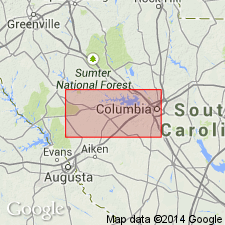
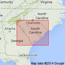
The informal Asbill Pond formation is exposed in the northeast-trending Delmar synclinorium, which crosses the Kiokee belt to the Carolina slate belt between Johnston and Batesburg (southeastern part of the study area). Thickness is greater than 5 km. Described as a sequence of metasedimentary rocks locally interbedded with mafic to felsic metavolcanic rocks. Layers and lenses of quartz siltstone and quartz sandstone suggest tidal shelf deposition. Overlies Persimmon Fork Formation and underlies Carboniferous igneous rocks.
Source: GNU records (USGS DDS-6; Reston GNULEX).
- Usage in publication:
-
- Asbill Pond formation
- Modifications:
-
- Overview
- Dominant lithology:
-
- Mudstone
- Sandstone
- AAPG geologic province:
-
- Piedmont-Blue Ridge province
Summary:
The informal Asbill Pond formation is a sequence of metasedimentary rocks more than 5 km in thickness that crops out in the southeastern part of the Carolina slate belt and in the northwestern part of the Kiokee belt. The Asbill Pond is predominantly composed of thin-bedded to massive mudstone which grades laterally and vertically into large lenses of quartz sandstone. Lenses of feldspathic sandstone, volcanic wacke, and mafic to felsic crystal-lapilli tuff are also present. Mudstone in the upper part of the Asbill Pond has yielded an assemblage of Middle Cambrian trilobites that indicate that the Carolina slate belt is part of an exotic terrane accreted to North America following the Middle Cambrian. Conformably overlies the Persimmon Fork Formation.
Source: GNU records (USGS DDS-6; Reston GNULEX).
For more information, please contact Nancy Stamm, Geologic Names Committee Secretary.
Asterisk (*) indicates published by U.S. Geological Survey authors.
"No current usage" (†) implies that a name has been abandoned or has fallen into disuse. Former usage and, if known, replacement name given in parentheses ( ).
Slash (/) indicates name conflicts with nomenclatural guidelines (CSN, 1933; ACSN, 1961, 1970; NACSN, 1983, 2005, 2021). May be explained within brackets ([ ]).