

- Usage in publication:
-
- Arpin conglomerate and quartzite
- Modifications:
-
- Original reference
- AAPG geologic province:
-
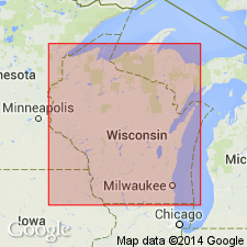
- Lake Superior region
Summary:
Pg. 366. Arpin conglomerate and quartzite. Quartzite probably 200 to 500 feet thick, which resembles Baraboo quartzite. Exposed immediately south of Arpin, Wood County. Contains pebbles of Powers Bluff quartzite. Is either upper or middle Huronian. [Age is Precambrian.]
Source: US geologic names lexicon (USGS Bull. 896, p. 77).
- Usage in publication:
-
- Arpin conglomerate and quartzite
- Modifications:
-
- Revised
- AAPG geologic province:
-
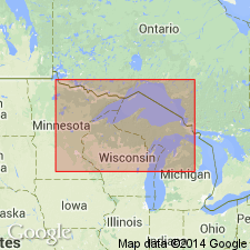
- Lake Superior region
Summary:
Chart opp. p. 598. Arpin conglomerate and quartzite. Assigned this formation to "Animikie group (upper Huronian)."
Source: US geologic names lexicon (USGS Bull. 896, p. 77).
For more information, please contact Nancy Stamm, Geologic Names Committee Secretary.
Asterisk (*) indicates published by U.S. Geological Survey authors.
"No current usage" (†) implies that a name has been abandoned or has fallen into disuse. Former usage and, if known, replacement name given in parentheses ( ).
Slash (/) indicates name conflicts with nomenclatural guidelines (CSN, 1933; ACSN, 1961, 1970; NACSN, 1983, 2005, 2021). May be explained within brackets ([ ]).