The National Geologic Map Database is migrating to a new infrastructure. We apologize for any service disruptions during this process.
|
|---|


- Usage in publication:
-
- Arp sand
- Modifications:
-
- Overview
Summary:
Pg. 128 (correlation chart). Shown on correlation chart as Arp sand in Reklaw formation. [Age is Eocene (Claiborne).]
Source: US geologic names lexicon (USGS Bull. 1200, p. 141).
- Usage in publication:
-
- Arp member
- Modifications:
-
- Principal reference
- Dominant lithology:
-
- Sandstone
- Siltstone
- Shale
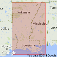
- AAPG geologic province:
-
- East Texas basin
Summary:
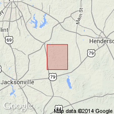
Pg. 10 (fig. 3), 83-85. Arp member, at base of Queen City formation. Consists of sands, silts, and thinly bedded, silty, carbonaceous shales. Thickness ranges from 48 to 75 feet. Underlies Omen sandstone member; overlies Marquez shale member, Reklaw formation. Type locality designated. Name credited to C.L. Moody. [Age is Eocene (Claiborne).]
Type locality: vicinity of Homer Lacey country store on road from Bell Church to Griffin, Henrys Chapel quadrangle. Named from town of Arp, 6 mi north of mapped area, in southeastern Smith Co., northeastern TX.
Source: US geologic names lexicon (USGS Bull. 1200, p. 141).
- Usage in publication:
-
- Arp member
- Modifications:
-
- Areal extent
- AAPG geologic province:
-
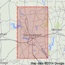
- Arkla basin
Summary:
Pg. 2520-2521. Arp member overlies Recklaw formation at alternate type locality of Queen City [in Caddo Parish, northwesternmost Louisiana].
Source: US geologic names lexicon (USGS Bull. 1200, p. 141).
For more information, please contact Nancy Stamm, Geologic Names Committee Secretary.
Asterisk (*) indicates published by U.S. Geological Survey authors.
"No current usage" (†) implies that a name has been abandoned or has fallen into disuse. Former usage and, if known, replacement name given in parentheses ( ).
Slash (/) indicates name conflicts with nomenclatural guidelines (CSN, 1933; ACSN, 1961, 1970; NACSN, 1983, 2005, 2021). May be explained within brackets ([ ]).