- Usage in publication:
-
- Arnoldsburg sandstone
- Modifications:
-
- Original reference
- Dominant lithology:
-
- Sandstone
- AAPG geologic province:
-
- Appalachian basin
Summary:
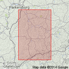
Pg. 57, 202, 505. Arnoldsburg sandstone (in Monongahela formation). Coarse brown and gray sandstone forming high pebbly cliffs. Thickness 25 to 45 feet. Lies 40 to 50 feet below Uniontown limestone and overlies Lower Uniontown coal. Recognized in western West Virginia and eastern Ohio. Age is Pennsylvanian.
Named from Arnoldsburg, Calhoun Co., western WV.
Source: US geologic names lexicon (USGS Bull. 896, p. 76).
- Usage in publication:
-
- Arnoldsburg sandstone
- Modifications:
-
- Areal extent
- AAPG geologic province:
-
- Appalachian basin
Summary:
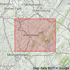
Unit is geographically extended into Fayette Co., PA, where it is described as medium-grained soft gray-brown sandstone occurring in thin to medium beds. Average thickness about 10 ft. Underlies Uniontown limestone; overlies Benwood limestone.
Source: GNU records (USGS DDS-6; Reston GNULEX).
- Usage in publication:
-
- Arnoldsburg sandstone
- Modifications:
-
- Areal extent
- AAPG geologic province:
-
- Appalachian basin
Summary:
Unit mapped in Jefferson Co., OH, and northwestern part of WV. Overlies Arnoldsburg limestone in both localities.
Source: GNU records (USGS DDS-6; Reston GNULEX).
- Usage in publication:
-
- Arnoldsburg sandstone and shale member
- Modifications:
-
- Redescribed
- Dominant lithology:
-
- Sandstone
- Shale
- AAPG geologic province:
-
- Appalachian basin
Summary:
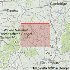
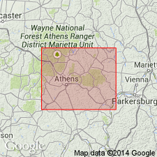
Arnoldsburg sandstone and shale member of Monongahela series described in Morgan Co., OH. Unit occupies stratigraphic position between overlying Uniontown limestone and underlying Arnoldsburg coal and(or) Arnoldsburg limestone. Consists of erratic development of sandstones and sandy shales ranging in thickness from 4 to 22 ft and averaging about 12 ft.
Source: GNU records (USGS DDS-6; Reston GNULEX).
- Usage in publication:
-
- Arnoldsburg shale and sandstone member
- Modifications:
-
- Revised
- AAPG geologic province:
-
- Appalachian basin
Summary:
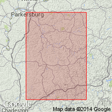
In this report Monongahela series is described on cyclothemic basis. Arnoldsburg shale and sandstone member is included in Lower Uniontown cyclothem. Arnoldsburg is represented as an olive-gray silty shale about 8 ft thick. Where Lower Uniontown coal is absent, Arnoldsburg sandstone is basal member of cyclothem. Underlies Ritchie redbed member (new). [Arnoldsburg limestone member is assigned to Arnoldsburg cyclothem in this report.]
Source: GNU records (USGS DDS-6; Reston GNULEX).
- Usage in publication:
-
- Arnoldsburg sandstone
- Modifications:
-
- Revised
- AAPG geologic province:
-
- Appalachian basin
Summary:
Arnoldsburg is one of three massive sandstones within the Pittsburgh Formation of the Monongahela Group. Underlies Uniontown limestone of Pittsburgh Formation and overlies Lower Uniontown coal. Age is Late Pennsylvanian (Virgilian).
Source: GNU records (USGS DDS-6; Reston GNULEX).
For more information, please contact Nancy Stamm, Geologic Names Committee Secretary.
Asterisk (*) indicates published by U.S. Geological Survey authors.
"No current usage" (†) implies that a name has been abandoned or has fallen into disuse. Former usage and, if known, replacement name given in parentheses ( ).
Slash (/) indicates name conflicts with nomenclatural guidelines (CSN, 1933; ACSN, 1961, 1970; NACSN, 1983, 2005, 2021). May be explained within brackets ([ ]).

