- Usage in publication:
-
- Armes Gap sandstone
- Modifications:
-
- Original reference
- Dominant lithology:
-
- Sandstone
- AAPG geologic province:
-
- Appalachian basin
Summary:
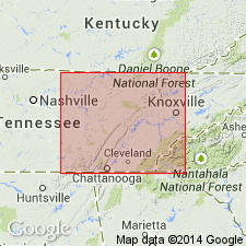
Pg. 11, 19, pls. 2, 3, 4. Armes Gap Sandstone of Graves Gap Group. Thickness near Armes Gap about 10 feet; 20 to 40 feet in Camp, Austin, Petros, and Fork Mountain quadrangles; from this area thins northward; 20 to 70 feet in a northwest-southeast belt through Lake City, Duncan Flats, Block, Norman and Huntsville quadrangles. Separated from underlying Indian Bluff group (new) by a shale interval as much as 300 feet thick that includes Jordan and Norman Pond coals; separated from overlying Roach Creek sandstone (new) by a shale interval as much as 130 feet thick that includes Pioneer coal. Age is Early Pennsylvanian (Pottsville).
Named from exposures in Armes Gap, north of Petros, Morgan Co., eastern TN.
Source: US geologic names lexicon (USGS Bull. 1200, p. 136).
For more information, please contact Nancy Stamm, Geologic Names Committee Secretary.
Asterisk (*) indicates published by U.S. Geological Survey authors.
"No current usage" (†) implies that a name has been abandoned or has fallen into disuse. Former usage and, if known, replacement name given in parentheses ( ).
Slash (/) indicates name conflicts with nomenclatural guidelines (CSN, 1933; ACSN, 1961, 1970; NACSN, 1983, 2005, 2021). May be explained within brackets ([ ]).

