- Usage in publication:
-
- Arendtsville fanglomerate lentil*
- Modifications:
-
- Original reference
- Dominant lithology:
-
- Conglomerate
- AAPG geologic province:
-
- Piedmont-Blue Ridge province
- Gettysburg basin
Summary:
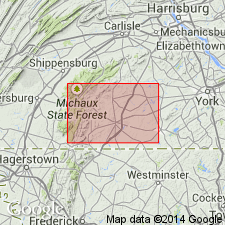
Arendtsville fanglomerate lentil. Coarse conglomerate of rounded cobble and boulders of quartzite, sandstone, quartz, and some aporhyolite in matrix of red sand, which extends for 20 miles along foot of South Mountain in northeastern part of Fairfield quadrangle, northwestern corner of Gettysburg quadrangle and southeastern part of Carlisle quadrangle. Estimated thickness 0 to 500+/- feet. It forms the large hills southwestern and western of Arendtsville, Adams County, central southern Pennsylvania, whence its name. In Carlisle quadrangle it passes into limestone conglomerate (unnamed). Is top member of Gettysburg shale. [Age is Late Cretaceous.]
Source: US geologic names lexicon (USGS Bull. 896, p. 69).

- Usage in publication:
-
- Arendtsville fanglomerate lentil*
- Modifications:
-
- Age modified
- AAPG geologic province:
-
- Piedmont-Blue Ridge province
- Gettysburg basin
Summary:
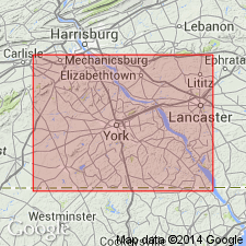
Pg. 115, 117. Arendtsville fanglomerate lentil of Gettysburg shale. In type area in Adams County, central southern Pennsylvania, the Gettysburg is predominantly a red shale and sandstone with interbedded hard gray to white sandstones in the Heidlersburg member and a coarse fanglomerate called Arendtsville fanglomerate lentil at top. Age is Late Triassic.
Source: US geologic names lexicon (USGS Bull. 1200, p. 131).
For more information, please contact Nancy Stamm, Geologic Names Committee Secretary.
Asterisk (*) indicates published by U.S. Geological Survey authors.
"No current usage" (†) implies that a name has been abandoned or has fallen into disuse. Former usage and, if known, replacement name given in parentheses ( ).
Slash (/) indicates name conflicts with nomenclatural guidelines (CSN, 1933; ACSN, 1961, 1970; NACSN, 1983, 2005, 2021). May be explained within brackets ([ ]).

