The National Geologic Map Database is migrating to a new infrastructure. We apologize for any service disruptions during this process.
|
|---|


- Usage in publication:
-
- Arcola limestone member
- Modifications:
-
- Original reference
- Dominant lithology:
-
- Limestone
- Chalk
- AAPG geologic province:
-
- Mid-Gulf Coast basin
Summary:
Pg. 1655-1657. Arcola limestone member of Selma chalk. Defined as a member of Selma chalk. Thin but persistent unit, consisting of layers of pure hard limestone, interbedded with chalk. Lies about 300 feet above base of Selma. Thickness about 29 feet. [Age is Late Cretaceous.]
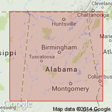
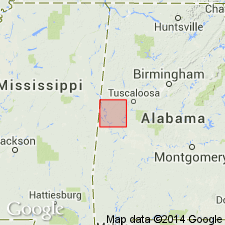
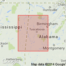
Type locality: in bluff at old Arcola Landing on Black Warrior River, in NE/4 sec. 4, T. 18 N., R. 3 E., Hale Co., about 5 mi northeast of Demopolis, AL. Unit has been traced from Bullock Co. westward through AL and northward through MS nearly to Mooreville in Lee Co.
Source: US geologic names lexicon (USGS Bull. 1200, p. 127-128); Alabama Geol. Survey Circ. 140, p. 22-23.
- Usage in publication:
-
- Arcola limestone member*
- Modifications:
-
- Revised
- AAPG geologic province:
-
- Mid-Gulf Coast basin
Summary:
Arcola limestone member reallocated to member status in the Mooreville chalk of Selma group. Unconformably underlies Demopolis chalk.
Source: GNU records (USGS DDS-6; Reston GNULEX).
- Usage in publication:
-
- Arcola Limestone Member*
- Modifications:
-
- Revised
- Age modified
- AAPG geologic province:
-
- Mid-Gulf Coast basin
Summary:
In MS the Austinian-Tayloran boundary occurs within the Mooreville Formation approximately 21+/-6 m above the Santonian-Campanian boundary. In AL, the Santonian-Campanian boundary occurs within the Mooreville, approximately 35 m above the Eutaw-Mooreville contact, and the Austinian-Tayloran boundary occurs within the Mooreville approximately 36.5 m above the Santonian-Campanian boundary. The Arcola Limestone Member of the Mooreville, previously used to designate the Austinian-Tayloran boundary, lies well within the Tayloran Stage. In eastern MS the Santonian-Campanian boundary occurs within the Tombigbee Sand Member of the Eutaw Formation.
Source: GNU records (USGS DDS-6; Reston GNULEX).
For more information, please contact Nancy Stamm, Geologic Names Committee Secretary.
Asterisk (*) indicates published by U.S. Geological Survey authors.
"No current usage" (†) implies that a name has been abandoned or has fallen into disuse. Former usage and, if known, replacement name given in parentheses ( ).
Slash (/) indicates name conflicts with nomenclatural guidelines (CSN, 1933; ACSN, 1961, 1970; NACSN, 1983, 2005, 2021). May be explained within brackets ([ ]).