The National Geologic Map Database is migrating to a new infrastructure. We apologize for any service disruptions during this process.
|
|---|


- Usage in publication:
-
- Arch marble
- Modifications:
-
- Original reference
- Dominant lithology:
-
- Marble
- AAPG geologic province:
-
- Piedmont-Blue Ridge province
Summary:
Arch marble. Named in sequence of units mapped in James River synclinorium. Younger than Joshua schist (new) and older than Pelier schist (new). [Age is early Paleozoic(?).]
Source: US geologic names lexicon (USGS Bull. 1200, p. 126).
- Usage in publication:
-
- Arch marble
- Arch formation
- Modifications:
-
- Principal reference
- Revised
- AAPG geologic province:
-
- Piedmont-Blue Ridge province
Summary:
Pg. 91 (fig. 1), 93. Arch marble or Arch formation. Fine-grained, blue-gray micaceous marble, locally arenaceous. Thickness about 400 feet. Included in Evington group (new). Type locality designated. [Age is early Paleozoic(?).]
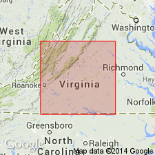
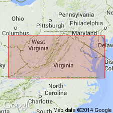
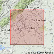
Type locality: vicinity of The Arch on Norfolk and Western RR, 1 mi east of Six Mile Station, Campbell Co., south-central VA.
Source: US geologic names lexicon (USGS Bull. 1200, p. 126).
- Usage in publication:
-
- Arch marble
- Modifications:
-
- Not used
- AAPG geologic province:
-
- Piedmont-Blue Ridge province
Summary:
Arch marble and Joshua schist of Brown (1951; 1953) replaced with Archer Creek formation.
Source: GNU records (USGS DDS-6; Reston GNULEX).

- Usage in publication:
-
- Arch Marble
- Modifications:
-
- Not used
- AAPG geologic province:
-
- Piedmont-Blue Ridge province
Summary:
Arch Marble of Brown (1953; 1958) and Archer Creek Formation of Espenshade (1954) not used. Rocks are included within the banded marble unit of Alligator Back Formation on the State map. Alligator Back is assigned to the Lynchburg Group. Evington Group not used.
Source: GNU records (USGS DDS-6; Reston GNULEX).
For more information, please contact Nancy Stamm, Geologic Names Committee Secretary.
Asterisk (*) indicates published by U.S. Geological Survey authors.
"No current usage" (†) implies that a name has been abandoned or has fallen into disuse. Former usage and, if known, replacement name given in parentheses ( ).
Slash (/) indicates name conflicts with nomenclatural guidelines (CSN, 1933; ACSN, 1961, 1970; NACSN, 1983, 2005, 2021). May be explained within brackets ([ ]).