- Usage in publication:
-
- Apishapa formation*
- Modifications:
-
- Original reference
- Dominant lithology:
-
- Shale
- AAPG geologic province:
-
- Las Animas arch
- Las Vegas-Raton basin
Summary:
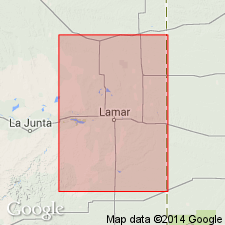
Pg. 567. Apishapa formation of Colorado group. Chiefly argillaceous laminated shale, dark-gray, weathering yellowish. Thickness 500 feet. Upper formation of Niobrara group in Arkansas Valley of eastern Colorado. Overlies Timpas formation and underlies Pierre group. Age is Late Cretaceous.
Named from Apishapa River, eastern CO.
[GNC remark (ca. 1938, US geologic names lexicon, USGS Bull. 896, p. 61): Niobrara and Benton are not now treated as groups by USGS, the broader term Colorado group, which includes them both, being considered the more useful group name. Where the Niobrara deposits and Benton deposits are not subdivided, they are called Niobrara limestone and Benton shale, respectively.]
Source: US geologic names lexicon (USGS Bull. 896, p. 60-61).

- Usage in publication:
-
- Apishapa shale*
- Modifications:
-
- Areal extent
- Redescribed
- Dominant lithology:
-
- Shale
- AAPG geologic province:
-
- Las Vegas-Raton basin
Summary:
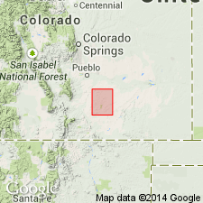
Name changed from Apishapa formation to Apishapa shale. Extended into Las Vegas-Raton basin of south-central CO. Is of same general lithology (shale) as described by Gilbert in 1896 and in addition, has some calcareous concretions, ellipsoidal in shape, which coalesce to form individual beds several rods in extent. Some cracks have calcite and barite. Is about 500 ft thick in quad. Has fossil fish and invertebrates. Is of Late Cretaceous age. Geologic map.
Source: GNU records (USGS DDS-6; Denver GNULEX).

- Usage in publication:
-
- Apishapa Shale*†
- Modifications:
-
- Abandoned
Summary:
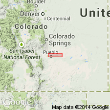
Abandoned and replaced by term Smoky Hill Shale Member of Niobrara Formation in the Denver and Las Vegas-Raton basins and Las Animas arch. Timpas Limestone and Apishapa Shale are equivalents of the Fort Hays Limestone and Smoky Hill Members of Niobrara. Apishapa is equivalent to the middle shale, middle chalk, upper chalky shale and upper chalk of the upper part of the Smoky Hill Member of this report. Although Timpas and Apishapa were named first, these names have been used only in southeast CO, whereas name Fort Hays and Smoky Hill have been used regionally.
Source: GNU records (USGS DDS-6; Denver GNULEX).
For more information, please contact Nancy Stamm, Geologic Names Committee Secretary.
Asterisk (*) indicates published by U.S. Geological Survey authors.
"No current usage" (†) implies that a name has been abandoned or has fallen into disuse. Former usage and, if known, replacement name given in parentheses ( ).
Slash (/) indicates name conflicts with nomenclatural guidelines (CSN, 1933; ACSN, 1961, 1970; NACSN, 1983, 2005, 2021). May be explained within brackets ([ ]).

