- Usage in publication:
-
- Apache Spring Quartz Latite
- Modifications:
-
- Named
- Dominant lithology:
-
- Quartz latite
- AAPG geologic province:
-
- Basin-and-Range province
Summary:
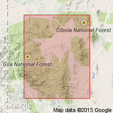
Named for a place in sec 36, T11S, R18W, Catron Co, NM, Basin-and-Range province. Is a massive cooling unit at least 2,500 feet thick within its source, the Bursum caldera. The Apache Spring is largely confined to the caldera which is 12-15 mi in diameter. The formation is differentiated becoming more mafic toward the top. Outliers of Apache Spring are found on Mogollon Rim. Shown on figure 2 as younger than Fanney Rhyolite and older than Deadwood Gulch Rhyolite Tuff. Of Tertiary age.
Source: GNU records (USGS DDS-6; Denver GNULEX).

- Usage in publication:
-
- Apache Spring Quartz Latite(?)
- Modifications:
-
- Areal extent
- AAPG geologic province:
-
- Basin-and-Range province
Summary:
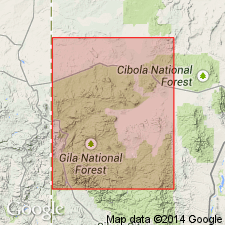
A quartz latite ash-flow sheet is lithologically and petrographically identical to the uppermost part of Apache Spring Quartz Latite in the Bursum cauldron farther south (Rhodes, 1970) of report area--northwestern part of Mogollon plateau, Catron Co, NM, Basin-and-Range province--and is interpreted as an outflow sheet of Apache Spring ash-flow tuff. Maximum thickness 60 m. Is provisionally extended into northern Tularosa Mountains and lower contact locally revised--conformably overlies Squirrel Springs Canyon Andesite (new). Similar quartz latite has been identified in the San Francisco and Saliz Mountains to the west and probably form parts of a widespread ash-flow sheet derived from a source lying to the south, as indicated by flow-direction studies (Rhodes and Smith, 1972b). If the correlation of this quartz latite ash-flow sheet with Apache Spring Quartz Latite is correct, its age is 27.3 +/-0.8 m.y. (Elston and others, 1973). [Author uses names Apache Spring and Apache Springs interchangeably.] Stratigraphic chart.
Source: GNU records (USGS DDS-6; Denver GNULEX).

- Usage in publication:
-
- Apache Spring Tuff*
- Modifications:
-
- Reference
- Geochronologic dating
- Dominant lithology:
-
- Tuff
- AAPG geologic province:
-
- Basin-and-Range province
Summary:
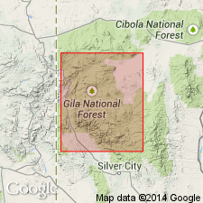
Composed of zoned rhyolitic to quartz latitic ash-flow tuff. Phenocrysts (15 to 55 percent) are sanidine, quartz, and oligoclase with accessory oxide, sphene, biotite, zircon, and apatite. Ranges from 200 to 1,000 m thick. Base not exposed. Is older than unnamed rhyolitic or basaltic lava flows. Confined to Bursum caldera. Age is Oligocene (27.3 +/-0.8 m.y. on biotite, K-Ar).
Reference sections: (1) in sec. 5, T. 11 S., R. 18 W.; and (2) in secs. 7 and 8, T. 11 S., R. 18 W.
Source: GNU records (USGS DDS-6; Denver GNULEX).

- Usage in publication:
-
- Apache Spring Tuff*
- Modifications:
-
- Geochronologic dating
- AAPG geologic province:
-
- Basin-and-Range province
Summary:
Has yielded average K-Ar ages of 28.0 +/-0.1 m.y. (biotite), and average F-T ages of 29.3 m.y. (zircon), and 30.0 +/-4.8 and 29.6 +/-0.7 m.y. (sphene), [or Oligocene]. Occurs throughout most of its outcrop area with the older (in sequence) Shelley Peak and Davis Canyon Tuffs. Thought to be younger than Vicks Peak and La Jencia Tuffs, and older than South Canyon and Lemitar Tuffs. Sampled in Catron Co, NM in the Basin-and-Range province.
Source: GNU records (USGS DDS-6; Denver GNULEX).
For more information, please contact Nancy Stamm, Geologic Names Committee Secretary.
Asterisk (*) indicates published by U.S. Geological Survey authors.
"No current usage" (†) implies that a name has been abandoned or has fallen into disuse. Former usage and, if known, replacement name given in parentheses ( ).
Slash (/) indicates name conflicts with nomenclatural guidelines (CSN, 1933; ACSN, 1961, 1970; NACSN, 1983, 2005, 2021). May be explained within brackets ([ ]).

