- Usage in publication:
-
- Antioch sandstone
- Modifications:
-
- Original reference
- Dominant lithology:
-
- Sandstone
- AAPG geologic province:
-
- South Oklahoma folded belt
Summary:
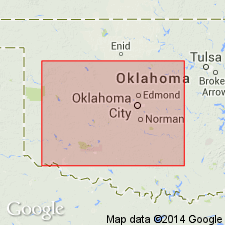
Pg. 1465, 1466. Antioch sandstone. South of Washita River the upper part of Garber-Wellington section again contains thick sandstones, as at Antioch, in T. 3 N., R. 2 W. These Antioch sandstones grade northward into the shale of Paoli area, thus indicating that they did not come from same direction as the Garber of Cleveland County. Between the Antioch sandstones and the Pontotoc on east the lower section is similar to that east of Paoli, the sandstone being very lenticular. [On p. 1466 Green states that on south side of Washita River, in area southwest of Maysville, a good shale section, 160 feet thick, lies between base of Purcell sandstone lenses of Hennessey shale and Antioch sandstone.] Age is Permian.
Source: US geologic names lexicon (USGS Bull. 896, p. 58).
For more information, please contact Nancy Stamm, Geologic Names Committee Secretary.
Asterisk (*) indicates published by U.S. Geological Survey authors.
"No current usage" (†) implies that a name has been abandoned or has fallen into disuse. Former usage and, if known, replacement name given in parentheses ( ).
Slash (/) indicates name conflicts with nomenclatural guidelines (CSN, 1933; ACSN, 1961, 1970; NACSN, 1983, 2005, 2021). May be explained within brackets ([ ]).

