The National Geologic Map Database is migrating to a new infrastructure. We apologize for any service disruptions during this process.
|
|---|


- Usage in publication:
-
- Anna shale member
- Modifications:
-
- Original reference
- Dominant lithology:
-
- Shale
- Limestone
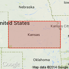
- AAPG geologic province:
-
- Cherokee basin
Summary:
Pg. 316-317, pl. 1. Anna shale member of Pawnee limestone of Marmaton group. Lowermost member of Pawnee limestone. Mostly black and platy but locally the black shale is fissile. Commonly bears small black phosphatic concretions. Locally there is gray shale in the upper and lower parts, and in some places, as in sec. 11, T. 25 S., R. 24 E., Bourbon County, Kansas, and in sec. 27 T. 29 N., R. 18 E., Craig County, Oklahoma, it contains a coal bed which is probably the Lexington coal of Lafayette County, Missouri. The black shale is the most persistent part. At its base is a thin, slabby limestone, varying from crystalline to earthy, which is locally absent but which is much thicker in Oklahoma and which may be the main part of the Oologah limestone. In Kansas, thickness about 3 to 11 feet. Underlies Myrick Station member; overlies Labette shale. Age is Middle Pennsylvanian (Des Moines).
Type locality: on KS Highway 7, a little north of center of sec. 7, T. 27 S., R. 24 E., Bourbon Co., eastern KS. [Named from village of Anna (Pawnee Station), southeast of type locality, Bourbon Co., eastern KS.]
Source: Publication; US geologic names lexicon (USGS Bull. 1200, p. 104).
- Usage in publication:
-
- Anna shale member
- Modifications:
-
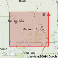
- Areal extent
Summary:
Pg. 6-7, fig. 1. Anna shale member of Pawnee formation of Marmaton group. Geographically extended into Missouri and reallocated to Pawnee formation. Unit now termed Anna shale had been included in Labette formation. [Age is Middle Pennsylvanian (Des Moines).]
Source: US geologic names lexicon (USGS Bull. 1200, p. 104).
- Usage in publication:
-
- Anna shale [bed]
- Modifications:
-
- Areal extent
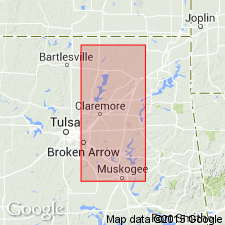
- AAPG geologic province:
-
- Chautauqua platform
Summary:
Pg. 15, 16 (fig. 2). Anna shale [bed] of Pawnee limestone member of Oologah formation. Occurs in Oklahoma where it is shown as a shale [bed] at base of Pawnee member of Oologah formation. Age is Middle Pennsylvanian (Des Moines).
Source: Publication; US geologic names lexicon (USGS Bull. 1200, p. 104).

- Usage in publication:
-
- Anna shale member
- Modifications:
-
- Areal extent
- AAPG geologic province:
-
- Iowa shelf
Summary:
Pg. 32, fig. 5. Anna shale member of Pawnee formation. Geographically extended into southwestern Iowa. As exposed in Madison County, upper bed is olive shale that weathers buff and contains fossil fragments; below this is dark-gray platy shale with light-gray fucoidal markings; lower shales are dark gray to black, hard, and slaty with thin gray lime concretions and bands in the upper part and are soft and clayey in lower part. Thickness 2.2 feet. Lowermost member of formation. Underlies Myrick Station limestone member; overlies Labette shale. Age is Middle Pennsylvanian (Des Moines).
Source: US geologic names lexicon (USGS Bull. 1200, p. 104).
- Usage in publication:
-
- Anna Shale Member*
- Modifications:
-
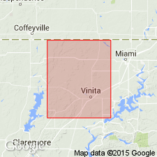
- Areal extent
- AAPG geologic province:
-
- Chautauqua platform
Summary:
Pg. 8 (fig. 4), pl. 6. Anna Shale Member of Labette Formation of Marmaton Group. Uppermost member of Labette Formation, following Branson and others (1965). Thickness 7.5 feet. Underlies Myrick Station Limestone Member of Pawnee Formation of Marmaton Group. In northwestern Craig County, Oklahoma, overlies Lexington coal, a thin, soft, earthy coal, about 2 inches thick. Age is Middle Pennsylvanian (Desmoinesian).
Source: Publication.
For more information, please contact Nancy Stamm, Geologic Names Committee Secretary.
Asterisk (*) indicates published by U.S. Geological Survey authors.
"No current usage" (†) implies that a name has been abandoned or has fallen into disuse. Former usage and, if known, replacement name given in parentheses ( ).
Slash (/) indicates name conflicts with nomenclatural guidelines (CSN, 1933; ACSN, 1961, 1970; NACSN, 1983, 2005, 2021). May be explained within brackets ([ ]).