The National Geologic Map Database is migrating to a new infrastructure. We apologize for any service disruptions during this process.
|
|---|


- Usage in publication:
-
- Anita shale
- Modifications:
-
- Original reference
- Dominant lithology:
-
- Shale
- AAPG geologic province:
-
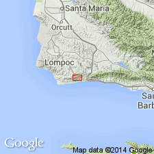
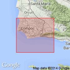
- Santa Maria basin
Summary:
Pg. 3, 4, 5, 6-7. Anita shale. Thick unit of Eocene shales with subordinate beds of sandstone and some limestone nodules. At one or more horizons, includes red foraminiferal shale. Disconformably underlies Matilija sandstone; disconformably overlies Upper Cretaceous sandstone. Thickness about 600 feet. Age is middle Eocene.
Type locality: on south side of Santa Anita Canyon 1 mi west of Big Bend [Santa Barbara Co.] south-central CA.
Source: US geologic names lexicon (USGS Bull. 1200, p. 102-103).
- Usage in publication:
-
- Anita shale
- Modifications:
-
- Mapped
- Dominant lithology:
-
- Shale
- AAPG geologic province:
-
- Santa Maria basin
Summary:
Pg. 26, pls. 1, 2, 5, 6. Anita shale. Consists of about 1,000 feet of clay shale lying above Jalama formation (new). Relationship to the Jalama appears to be conformable, but in northerly exposures [Santa Ynez Range] the Anita rests unconformably on Jalama and older formations. Age is middle Eocene.
Source: Publication; US geologic names lexicon (USGS Bull. 1200, p. 102-103).
For more information, please contact Nancy Stamm, Geologic Names Committee Secretary.
Asterisk (*) indicates published by U.S. Geological Survey authors.
"No current usage" (†) implies that a name has been abandoned or has fallen into disuse. Former usage and, if known, replacement name given in parentheses ( ).
Slash (/) indicates name conflicts with nomenclatural guidelines (CSN, 1933; ACSN, 1961, 1970; NACSN, 1983, 2005, 2021). May be explained within brackets ([ ]).