The National Geologic Map Database is migrating to a new infrastructure. We apologize for any service disruptions during this process.
|
|---|


- Usage in publication:
-
- Angelo Member*
- Modifications:
-
- Named
- Dominant lithology:
-
- Limestone
- Marlstone
- Mudstone
- AAPG geologic province:
-
- Green River basin
Summary:
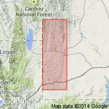
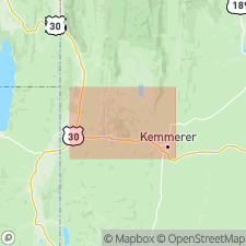
Named as a member of Green River Formation for exposures high on buttes overlooking Angelo Ranch, South Fork of Twin Creek, 2.7 mi south of Kemmerer quad, Lincoln Co, WY, in the Greater Green River basin. Type section measured and described in SW1/4 NW1/4 sec 5, T21N, R117W where 39 ft section overlies Fossil Butte Member (new) of Green River Formation. Is present on buttes and mesas of Hams Fork Plateau, central part of Fossil basin from north edges of Sage and Kemmerer quads. Southern limit unknown. Is 200 ft thick in center part of Fossil basin; pinches out near edges of basin. Consists mainly of white- to blue-white weathering limestone, marlstone, and mudstone. Also includes siliceous limestone, chert, light- to medium-gray marly mudstone, and claystone, and some sandstone in beds and as lenses. The organic shales and limestones and subaphanitic marly limestones in the basin grade laterally through ostracodal and gastropodal limestone to algal limestone near the periphery of basin. Underlies Bullpen Member (new) of Wasatch. Intertongues with mudstone tongue of Wasatch. Of late early Eocene age. Fragments of fossil fish, birds, insects, plants, mollusks, and ostracodes found. Of lacustrine origin. Stratigraphic table.
Source: GNU records (USGS DDS-6; Denver GNULEX).
- Usage in publication:
-
- Angelo Member*
- Modifications:
-
- Overview
- AAPG geologic province:
-
- Green River basin
Summary:
Mapped (geologic map, cross sections) as the upper member of Green River Formation in central part of map area, Lincoln Co, WY, Greater Green River basin. Overlies Fossil Butte Member of Green River. Is younger than the Sillem Member of Fowkes Formation. Characterized by white weathering calcareous shaly claystone, siltstone, and siliceous limestone. Includes tan laminated limestone, brown algal, ostracodal, and gastropodal limestone, a few oil-shale beds, and a few thin tuffaceous ash beds. Maximum thickness of 200 ft. May be late early or middle Eocene.
Source: GNU records (USGS DDS-6; Denver GNULEX).
For more information, please contact Nancy Stamm, Geologic Names Committee Secretary.
Asterisk (*) indicates published by U.S. Geological Survey authors.
"No current usage" (†) implies that a name has been abandoned or has fallen into disuse. Former usage and, if known, replacement name given in parentheses ( ).
Slash (/) indicates name conflicts with nomenclatural guidelines (CSN, 1933; ACSN, 1961, 1970; NACSN, 1983, 2005, 2021). May be explained within brackets ([ ]).