The National Geologic Map Database is migrating to a new infrastructure. We apologize for any service disruptions during this process.
|
|---|


- Usage in publication:
-
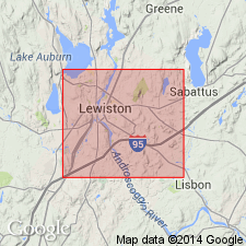
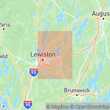
- Androscoggin gneiss and schist
- Modifications:
-
- First used
- Dominant lithology:
-
- Gneiss
- Schist
- AAPG geologic province:
-
- New England province
Summary:
Unit listed as Androscoggin gneiss and schist. Underlies Bates limestone (new); overlies Precambrian orthogneisses. Age given as Cambro-Ordovician?
Source: GNU records (USGS DDS-6; Reston GNULEX).
- Usage in publication:
-
- Androscoggin formation
- Modifications:
-
- Named
- Dominant lithology:
-
- Marble
- Gneiss
- Schist
- AAPG geologic province:
-
- New England province
Summary:
Type locality designated for Androscoggin formation. Unit includes four phases: highly injected biotite-garnet gneiss, lime-silicate gneiss, marble, and quartz-biotite schist. Thickness about 3,500 feet. Underlies Sabattus formation; overlies Taylor Brook formation. Quartz-biotite facies traced into Vassalboro formation between Litchfield and South Litchfield. Age is Ordovician(?).
Source: GNU records (USGS DDS-6; Reston GNULEX).
- Usage in publication:
-
- Androscoggin Formation†
- Modifications:
-
- Abandoned
- AAPG geologic province:
-
- New England province
Summary:
Author has abandoned most of Fisher's (1941) names and uses, instead, names established by Osberg (1968, 1980) and Pankiwskyj (1976). Androscoggin Formation, as it is now understood, included rocks currently assigned to both Vassalboro Formation and Patch Mountain Member of Sangerville Formation.
Source: GNU records (USGS DDS-6; Reston GNULEX).
For more information, please contact Nancy Stamm, Geologic Names Committee Secretary.
Asterisk (*) indicates published by U.S. Geological Survey authors.
"No current usage" (†) implies that a name has been abandoned or has fallen into disuse. Former usage and, if known, replacement name given in parentheses ( ).
Slash (/) indicates name conflicts with nomenclatural guidelines (CSN, 1933; ACSN, 1961, 1970; NACSN, 1983, 2005, 2021). May be explained within brackets ([ ]).