- Usage in publication:
-
- Andrews schist*
- Modifications:
-
- Named
- Dominant lithology:
-
- Schist
- AAPG geologic province:
-
- Piedmont-Blue Ridge province
Summary:
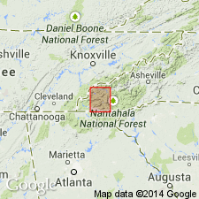
Andrews schist named. Described as a calcareous schist, 200 to 350 feet thick. One of the most conspicuous features is large number of crystals of ottrelite which spangle the rock. Muscovite and biotite also occur in frequent crystals, especially in upper parts of formation. The various micas are embedded in a fine matrix of carbonate of calcium of about same character as underlying Murphy marble. The feature which makes this schist of particular importance is development in it of deposits of brown hematite. At base the formation grades into Murphy marble by interbedding and by diminution of amount of ottrelite. Upward it passes into Nottely quartzite, as the sandy material increases both in separate layers and as grains in the body of the schist. Age is Early Cambrian.
Source: GNU records (USGS DDS-6; Reston GNULEX).

- Usage in publication:
-
- Andrews formation
- Modifications:
-
- Revised
- AAPG geologic province:
-
- Piedmont-Blue Ridge province
Summary:
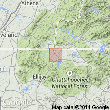
Andrews schist redefined as Andrews formation. Unit is metasedimentary sequence, 1,400 to 1,000 feet thick, that lies between Murphy marble [below] and Nottely quartzite. Base of sequence is a calcareous schist that corresponds to Keith's Andrews schist in Nantahala quadrangle, but was mapped by Keith as part of Valleytown formation. Although formation contains rocks that were mapped by Keith (1907) and LaForge and Phalen (1913, USGS folio 187) as parts of other formations, its stratigraphic limits are same as those specified by Keith for Andrews schist.
Source: GNU records (USGS DDS-6; Reston GNULEX).

- Usage in publication:
-
- Andrews Schist†
- Modifications:
-
- Abandoned
- AAPG geologic province:
-
- Piedmont-Blue Ridge province
Summary:
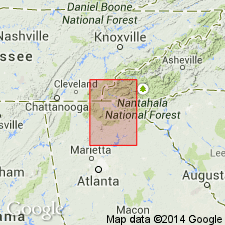
Andrews Schist of Keith (1907) is here abandoned and its rocks reallocated to the Mission Mountain Formation (new) of the Mineral Bluff Group (rank raised). Authors consider Keith's description of little use in defining, recognizing, or mapping the Andrews.
Source: Modified from GNU records (USGS DDS-6; Denver GNULEX).
For more information, please contact Nancy Stamm, Geologic Names Committee Secretary.
Asterisk (*) indicates published by U.S. Geological Survey authors.
"No current usage" (†) implies that a name has been abandoned or has fallen into disuse. Former usage and, if known, replacement name given in parentheses ( ).
Slash (/) indicates name conflicts with nomenclatural guidelines (CSN, 1933; ACSN, 1961, 1970; NACSN, 1983, 2005, 2021). May be explained within brackets ([ ]).

