The National Geologic Map Database is migrating to a new infrastructure. We apologize for any service disruptions during this process.
|
|---|


- Usage in publication:
-
- Andrews Mountain Member*
- Modifications:
-
- Areal extent
- Age modified
- AAPG geologic province:
-
- Great Basin province
Summary:
Geographically extended into Esmeralda County, NV, where unit is mainly dark-gray blocky quartzite. Thickness is about 500 ft. Underlies Montenegro Member; overlies Deep Spring Formation. Age is Precambrian(?) and Early Cambrian.
Source: GNU records (USGS DDS-6; Menlo GNULEX).
- Usage in publication:
-
- Andrews Mountain Member
- Modifications:
-
- Original reference
- Dominant lithology:
-
- Sandstone
- Siltstone
- AAPG geologic province:
-
- Great Basin province
Summary:
Pg. 140 (fig. 2), 141, 143 (fig. 3). Andrews Mountain Member of Campito Formation. Lower member of Campito Formation. Consists of about 2,500 to 2,800 feet of massively bedded, locally cross-stratified, dark-gray to black quartzitic sandstone and interbedded gray siltstone and shale. Underlies Montenegro Member (new) of Campito Formation. Overlies Deep Spring Formation. Fossils; carries lowest olenellid trilobite fauna in middle part. Age is considered Precambrian(?) to Early Cambrian.
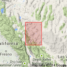
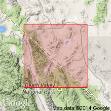
Named from exposures on Andrews Mountain, Waucoba Mountain 15-min quadrangle, [northern Inyo Co.], central eastern CA.
Principal reference locality: exposures on Andrews Mountain, Waucoba Mountain 15-min quadrangle, northern Inyo Co., central eastern CA [approx. Lat. 37 deg. 04 min. 30 sec. N., Long. 118 deg. 05 min. W.] (C.A. Nelson, USGS, oral commun., 1986).
[See also C.A. Nelson, 1966a, Geol. map Waucoba Mountain quadrangle, CA, USGS Geol. Quad. Map GQ-528, 1 sheet, scale 1:62,500; C.A. Nelson, 1966b, Geol. map Blanco Mountain quadrangle, CA, USGS Geol. Quad. Map GQ-529, 1 sheet, scale 1:62,500.]
Source: Publication; US geologic names lexicon (USGS Bull. 1350, p. 26); GNU records (USGS DDS-6; Menlo GNULEX).
- Usage in publication:
-
- Andrews Mountain Member*
- Modifications:
-
- Adopted
- Age modified
- AAPG geologic province:
-
- Great Basin province
Summary:
Adopted as lower member of Campito Formation. Underlies Montenegro Member. Age is Precambrian(?) and Early Cambrian.
Source: GNU records (USGS DDS-6; Menlo GNULEX).
- Usage in publication:
-
- Andrews Mountain Member*
- Modifications:
-
- Areal extent
- AAPG geologic province:
-
- Great Basin province
Summary:
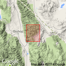
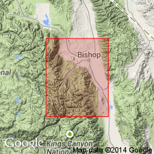
Described in Bishop district, CA, about 15 mi northwest of type area. Top and bottom exposed in some places but complete and unfaulted section not present. Thickest and most complete section in south half of secs.8-9 T8S R34E where unit is 2,700 ft thick. Overlies Deep Spring Formation; truncated at top by fault. About 1,700 ft crop out south of Redding Canyon in sec.17 T7S R34E, where unit is cut by two reverse faults that have telescoped section. Map shows Campito Formation and members as Early Cambrian age.
Source: GNU records (USGS DDS-6; Menlo GNULEX).
- Usage in publication:
-
- Andrews Mountain Member*
- Modifications:
-
- Age modified
- AAPG geologic province:
-
- Great Basin province
Summary:
Age of Andrews Mountain Member of Campito Formation revised from Precambrian(?) and Early Cambrian --to-- Precambrian and Early Cambrian.
Source: GNU records (USGS DDS-6; Menlo GNULEX).
For more information, please contact Nancy Stamm, Geologic Names Committee Secretary.
Asterisk (*) indicates published by U.S. Geological Survey authors.
"No current usage" (†) implies that a name has been abandoned or has fallen into disuse. Former usage and, if known, replacement name given in parentheses ( ).
Slash (/) indicates name conflicts with nomenclatural guidelines (CSN, 1933; ACSN, 1961, 1970; NACSN, 1983, 2005, 2021). May be explained within brackets ([ ]).