

- Usage in publication:
-
- Andrew shale member
- Modifications:
-
- Original reference
Summary:
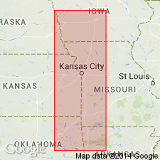
Pg. 306. Andrew shale. Upper member of Lawrence shale [broad usage] in Missouri and eastern Kansas. Overlies Iatan limestone member of Lawrence and underlies Plattsmouth limestone. Age is Pennsylvanian.
Named from Andrew Co., MO.
Source: US geologic names lexicon (USGS Bull. 896, p. 52).
- Usage in publication:
-
- Andrew shales
- Modifications:
-
- Revised
- AAPG geologic province:
-
- Forest City basin
- Anadarko basin
- Nemaha anticline
Summary:
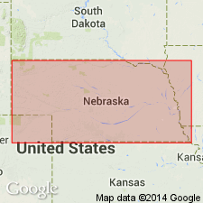
Andrew shales (Lawrence shale). In southeastern Nebraska, includes (ascending) Nehawka limestone, 6 to 12 feet; unnamed shale, 4 feet; Sturm limestone, 6 to 12 feet; unnamed shale, 6 feet; Oreapolis limestone, 6 to 12 feet; unnamed shale, 7 to 9 feet; Weeping Water limestone, 6 to 12 feet; and unnamed shale, 14 to 18 feet. Underlies Plattsmouth limestone. Is lowest Pennsyvlanian formation. Report includes measured sections, cross sections.
Source: GNC KS-NE Pennsylvanian Corr. Chart, sheet 1, Oct. 1936; supplemental information from GNU records (USGS DDS-6; Denver GNULEX).

- Usage in publication:
-
- Andrew shale†
- Modifications:
-
- Abandoned
Summary:
†Andrew shale in Douglas formation. Abandoned. See "Modern classifications of the Pennsylvanian rocks of eastern Kansas and southeastern Nebraska," compiled by M.G. Wilmarth, Secretary of Committee on Geologic Names, USGS unpub. corr. chart, Oct. 1936, sheet 2, for relations to present [1938] recognized units.
Source: US geologic names lexicon (USGS Bull. 896, p. 52).
For more information, please contact Nancy Stamm, Geologic Names Committee Secretary.
Asterisk (*) indicates published by U.S. Geological Survey authors.
"No current usage" (†) implies that a name has been abandoned or has fallen into disuse. Former usage and, if known, replacement name given in parentheses ( ).
Slash (/) indicates name conflicts with nomenclatural guidelines (CSN, 1933; ACSN, 1961, 1970; NACSN, 1983, 2005, 2021). May be explained within brackets ([ ]).