

- Usage in publication:
-
- Andrew Bay volcanics*
- Modifications:
-
- Named
- Dominant lithology:
-
- Breccia
- AAPG geologic province:
-
- Aleutian Islands province
- Alaska Southwestern region
Summary:
Pg. 77, 78, pl. 6. Andrew Bay volcanics. Thick accumulation of breccia, tuff-breccia, and lava flows; these rocks are products of an ancient volcano, herein called Andrew Bay Volcano. Maximum thickness about 1,000 feet; original thickness much greater. Considered younger than newly defined Zeto Point basalt porphyry (Mesozoic?); oldest volcanic rocks of "Mount Adagak" are banked against a sea cliff cut in Andrew Bay volcanics. Assigned Tertiary age based on stratigraphic relations.
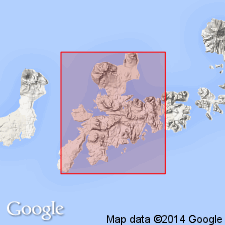
Andrew Bay volcanics make up ridge rising steeply from water's edge on east shore of Andrew Bay, northern Adak Island, Aleutian Islands, southwestern AK.
Source: US geologic names lexicon (USGS Bull. 1200, p. 98).
For more information, please contact Nancy Stamm, Geologic Names Committee Secretary.
Asterisk (*) indicates published by U.S. Geological Survey authors.
"No current usage" (†) implies that a name has been abandoned or has fallen into disuse. Former usage and, if known, replacement name given in parentheses ( ).
Slash (/) indicates name conflicts with nomenclatural guidelines (CSN, 1933; ACSN, 1961, 1970; NACSN, 1983, 2005, 2021). May be explained within brackets ([ ]).