

- Usage in publication:
-
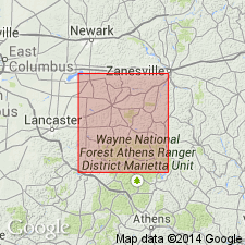
- Anthony shale
- Anthony sandstone
- Modifications:
-
- Revised
- AAPG geologic province:
-
- Appalachian basin
Summary:
Pg. 21-22. Anthony shale and (or) Anthony sandstone included in Anthony cyclothem. [Age is Pennsylvanian (Pottsville).]
Source: US geologic names lexicon (USGS Bull. 1200, p. 110).
- Usage in publication:
-
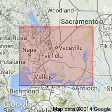
- Anderson Sand
- Modifications:
-
- Named
- Dominant lithology:
-
- Sandstone
- AAPG geologic province:
-
- Sacramento basin
Summary:
Type section is subsurface exposures in Signal Upham No.1 Well, Sherman Island Gas Field, sec.26 T3N R2E, Sacramento Co, west-central CA. Is composed of clean, medium grained, well sorted , quartz sandstone. Is 61 m thick. Overlies Martinez Shale. Underlies "Meganos C shale". Is Paleocene age. [Name "Anderson Formation" used by Morrison (1972) fig. 6].
Source: GNU records (USGS DDS-6; Menlo GNULEX).
For more information, please contact Nancy Stamm, Geologic Names Committee Secretary.
Asterisk (*) indicates published by U.S. Geological Survey authors.
"No current usage" (†) implies that a name has been abandoned or has fallen into disuse. Former usage and, if known, replacement name given in parentheses ( ).
Slash (/) indicates name conflicts with nomenclatural guidelines (CSN, 1933; ACSN, 1961, 1970; NACSN, 1983, 2005, 2021). May be explained within brackets ([ ]).