The National Geologic Map Database is migrating to a new infrastructure. We apologize for any service disruptions during this process.
|
|---|


- Usage in publication:
-
- Anchor Mine tongue*
- Modifications:
-
- Original reference
- Dominant lithology:
-
- Shale
- Coal
- AAPG geologic province:
-
- Piceance basin
Summary:
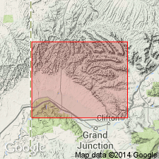
Pg. 36-38. Anchor Mine tongue of Mancos shale. Is one of the 3 westward-projecting tongues of Mancos shale that interfinger with basal Mesaverde strata. Its base or east end lies in sec. 12, T. 10 S., R. 100 W., [Corcoran Point and Round Mountain 7.5-min quadrangles, Mesa Co., Book Cliffs coal field, western CO], and in that vicinity it has typical Mancos lithology. Westward it changes from dark-gray sandy marine shale into thin-bedded sandstone and carbonaceous material representing deposition in shallower waters near shore. Near mouth of Hunter Canyon [in sec. 7, T. 9 S., R. 100 W., Corcoran Peak 7.5-min quadrangle, Mesa Co., Book Cliffs coal field, western CO] it separates upper and lower members of Sego sandstone. Thickness ranges from 0 to 115+/- feet. Age is Late Cretaceous.
Type locality considered to be at Anchor mines, nos. 1 and 2, [in Layton Wash, T. 8 S., R. 101 W., Ruby Lee 7.5-min quadrangle], Mesa Co., Book Cliffs coal field, western CO.
[Misprint (US geologic names lexicon, USGS Bull. 896, p. 50): unit described from Book Cliffs coal field of western CO, not eastern UT.]
Source: US geologic names lexicon (USGS Bull. 896, p. 50-51); supplemental information from GNC index card files (USGS-Reston).
- Usage in publication:
-
- Anchor Mine Tongue*
- Modifications:
-
- Areal extent
- AAPG geologic province:
-
- Piceance basin
Summary:
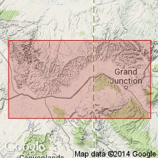
Not discernable in well logs or measured sections in UT. Is a tongue of Mancos Shale recognized east of the UT-CO state line in the Piceance basin where it splits the Sego Sandstone into an upper and lower sandstone. East of the eastern pinchout of the lower sandstone of the Sego, the lithology of Anchor Mine is typical of the Mancos. West toward Hunter Canyon, sec 7, T9S, R100W, Garfield Co, CO, Anchor Mine is thin and contains coal, carbonaceous shale, and channel-fill sandstone. Cross sections. Correlation chart. Measured sections. Of Late Cretaceous age.
Source: GNU records (USGS DDS-6; Denver GNULEX).
For more information, please contact Nancy Stamm, Geologic Names Committee Secretary.
Asterisk (*) indicates published by U.S. Geological Survey authors.
"No current usage" (†) implies that a name has been abandoned or has fallen into disuse. Former usage and, if known, replacement name given in parentheses ( ).
Slash (/) indicates name conflicts with nomenclatural guidelines (CSN, 1933; ACSN, 1961, 1970; NACSN, 1983, 2005, 2021). May be explained within brackets ([ ]).