- Usage in publication:
-
- Anarchist series
- Modifications:
-
- Named
- Dominant lithology:
-
- Quartzite
- Limestone
- AAPG geologic province:
-
- Okanogan province
Summary:
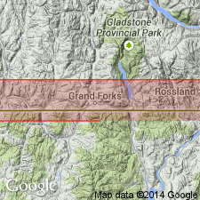
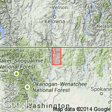
[Named for Anarchist Mountain, British Columbia.] Occurs in southern British Columbia and central northern and northeastern Washington. Consists of quartzite, phyllite shales, greenstones with some limestone beds. Underlies Attwood series. Shown on maps. Assigned Carboniferous(?) age.
Source: GNU records (USGS DDS-6; Menlo GNULEX).

- Usage in publication:
-
- Anarchist series
- Modifications:
-
- Revised
- AAPG geologic province:
-
- Okanogan province
Summary:
Oldest and most widespread unit in Okanogan Valley is heterogeneous group of greenstones, phyllites, quartzites, chlorite schists, crystalline limestones, and partially metamorphosed conglomerates. Subdivided into three units: Lower, Middle, and Upper Anarchist series. Total thickness unknown; Sections over 5,000 ft thick include only part of unit. Intruded by Colville batholith. Shown on map legend as unconformably underlying Triassic limestone. Age is probably Carboniferous(?) and most likely Permian.
Source: GNU records (USGS DDS-6; Menlo GNULEX).

- Usage in publication:
-
- Anarchist Group*
- Modifications:
-
- Adopted
- Areal extent
- Revised
- Dominant lithology:
-
- Conglomerate
- Slate
- AAPG geologic province:
-
- Okanogan province
Summary:
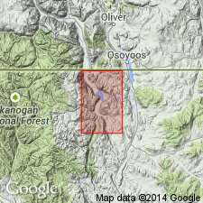
Lower part of Anarchist Series of Daly (1912) is here designated Anarchist Group. Includes (ascending) Spectacle Formation (new) and Bullfrog Mountain Formation (new). Restricted to rocks below unconformity. Upper Anarchist Series of Waters and Krauskopf (1941) above unconformity are called Kobau Formation, "Kobau" name used by Bostock (1941). Type locality of Spectacle Fm is between Wannacut Lake and Palmer Mtn, E Loomis quad; type of Bullfrog Mtn Fm is Bullfrog Mtn, NE of Palmer Lake, C Loomis quad, Okanogan Co, WA. Consists of conglomerate, slate, siltstone, limestone. Spectacle Fm is 15,000 ft thick at type. Bullfrog Mtn Fm is 5,000 ft thick at type. Underlies Palmer Mtn Greenstone or Kobau Fm. Basement not exposed. Age is considered Late(?) Permian based on fossils.
Source: GNU records (USGS DDS-6; Menlo GNULEX).
For more information, please contact Nancy Stamm, Geologic Names Committee Secretary.
Asterisk (*) indicates published by U.S. Geological Survey authors.
"No current usage" (†) implies that a name has been abandoned or has fallen into disuse. Former usage and, if known, replacement name given in parentheses ( ).
Slash (/) indicates name conflicts with nomenclatural guidelines (CSN, 1933; ACSN, 1961, 1970; NACSN, 1983, 2005, 2021). May be explained within brackets ([ ]).

