

- Usage in publication:
-
- Anaktoovuk series
- Modifications:
-
- Named
- Biostratigraphic dating
- Dominant lithology:
-
- Sandstone
- AAPG geologic province:
-
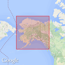
- Alaska Northern region
Summary:
Named from river on which it occurs. Forms southern or principal part of gently rolling Anaktoovuk plateau along north side of Endicott Range, northern AK. Consists of heavy-bedded impure, dark-gray, or dirty-greenish, fine- or medium-grained sandstone. Unconformably overlies Lisburne formation (new); unconformably underlies Nanushuk series (new). Age is Early Cretaceous based on fossil evidence determined by Dr. Stanton.
Source: GNU records (USGS DDS-6; Menlo GNULEX).
- Usage in publication:
-
- Anaktuvuk group*
- Modifications:
-
- Overview
- AAPG geologic province:
-
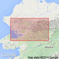
- Alaska Northern region
Summary:
Anaktuvuk group of Schrader (1904) is described. Estimated thickness is 2000 ft. [Note change in spelling and rank.]
Source: GNU records (USGS DDS-6; Menlo GNULEX).
For more information, please contact Nancy Stamm, Geologic Names Committee Secretary.
Asterisk (*) indicates published by U.S. Geological Survey authors.
"No current usage" (†) implies that a name has been abandoned or has fallen into disuse. Former usage and, if known, replacement name given in parentheses ( ).
Slash (/) indicates name conflicts with nomenclatural guidelines (CSN, 1933; ACSN, 1961, 1970; NACSN, 1983, 2005, 2021). May be explained within brackets ([ ]).