

- Usage in publication:
-
- Amherst schist*
- Modifications:
-
- Named
- Dominant lithology:
-
- Schist
- AAPG geologic province:
-
- New England province
Summary:
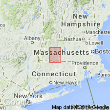
Also USGS Monograph 29, p. 218, 219, 222, 224-225. Amherst schist (also Amherst feldspathic mica schist). Coarse fibrolitic and feldspathic schist exposed in Mount Warner and across Amherst, Massachusetts.
Source: US geologic names lexicon (USGS Bull. 896, p. 46).
- Usage in publication:
-
- Amherst schist*
- Modifications:
-
- Areal extent
- AAPG geologic province:
-
- New England province
Summary:
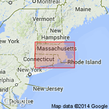
Pg. 60, 72-76, and map. Amherst schist. Recognized in central Massachusetts, southwestern New Hampshire, and northern Connecticut. On west border of Central Upland of Massachusetts, the Brimfield schist becomes a normal garnetiferous mica schist called Amherst schist. The Amherst is at base a coarse lead-gray mica schist, generally without accessory minerals. This is succeeded above by a finer-grained, corrugated mica schist, which is dark gray from graphite and and [contains] abundant dark-red garnet and red-brown biotite, set transversely to bedding. On Mount Warner the schist reverts to Brimfield type and becomes a highly fibrolitic rusty garnetiferous brown biotite schist. Age is Carboniferous.
Source: US geologic names lexicon (USGS Bull. 896, p. 46); supplemental information from GNU records (USGS DDS-6; Reston GNULEX).
- Usage in publication:
-
- Amherst schist*
- Modifications:
-
- Overview
- Areal extent
- AAPG geologic province:
-
- New England province
Summary:
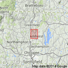
In Mount Toby quad., Amherst is quartz-muscovite-biotite schist that locally has been so silicified and pegmatized as to change it into a massive gneissic granite-like rock. Extensive area north of Amherst that was mapped earlier by Emerson as Williamsburg granodiorite and interpreted by him as an intrusive igneous body is altered Amherst schist. Age given as pre-Triassic.
Source: GNU records (USGS DDS-6; Reston GNULEX).
For more information, please contact Nancy Stamm, Geologic Names Committee Secretary.
Asterisk (*) indicates published by U.S. Geological Survey authors.
"No current usage" (†) implies that a name has been abandoned or has fallen into disuse. Former usage and, if known, replacement name given in parentheses ( ).
Slash (/) indicates name conflicts with nomenclatural guidelines (CSN, 1933; ACSN, 1961, 1970; NACSN, 1983, 2005, 2021). May be explained within brackets ([ ]).