The National Geologic Map Database is migrating to a new infrastructure. We apologize for any service disruptions during this process.
|
|---|


- Usage in publication:
-
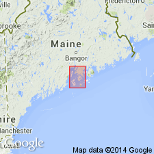
- Ames Knob formation*
- Modifications:
-
- Named
- Dominant lithology:
-
- Limestone
- Shale
- Conglomerate
- AAPG geologic province:
-
- New England province
Summary:
Ames Knob formation named in Penobscot Bay area, Knox Co., ME. Consists of limestones and red shales, with several conglomerate beds and a basal conglomerate member, which is 16 ft thick. Contains Niagara fossils. Thickness 580 ft. Rests on North Haven greenstone. Overlain by volcanic rocks. Age is Silurian.
Source: GNU records (USGS DDS-6; Reston GNULEX).
For more information, please contact Nancy Stamm, Geologic Names Committee Secretary.
Asterisk (*) indicates published by U.S. Geological Survey authors.
"No current usage" (†) implies that a name has been abandoned or has fallen into disuse. Former usage and, if known, replacement name given in parentheses ( ).
Slash (/) indicates name conflicts with nomenclatural guidelines (CSN, 1933; ACSN, 1961, 1970; NACSN, 1983, 2005, 2021). May be explained within brackets ([ ]).