The National Geologic Map Database is migrating to a new infrastructure. We apologize for any service disruptions during this process.
|
|---|


- Usage in publication:
-
- Amargo formation
- Modifications:
-
- Original reference
- Dominant lithology:
-
- Volcanics
- AAPG geologic province:
-
- San Joaquin basin
Summary:
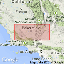
Pg. 358. Amargo formation. Group of altered volcanic rocks and minor intrusive bodies. Evidently unmelted remnants of rocks that were intruded by quartz monzonite, apparently portions that floated on the upper surface of the granitoid batholithic magma during its intrusion. Age is Jurassic.
Occurs in low hills beginning less than 1 mi southeast of the Baker and Western mines. Lies on both sides of paved road that connects the mines with the settlement, formerly called Amargo but now called Boron, [Mohave Desert region, Kern Co.], southeastern CA.
Source: US geologic names lexicon (USGS Bull. 1200, p. 73).
For more information, please contact Nancy Stamm, Geologic Names Committee Secretary.
Asterisk (*) indicates published by U.S. Geological Survey authors.
"No current usage" (†) implies that a name has been abandoned or has fallen into disuse. Former usage and, if known, replacement name given in parentheses ( ).
Slash (/) indicates name conflicts with nomenclatural guidelines (CSN, 1933; ACSN, 1961, 1970; NACSN, 1983, 2005, 2021). May be explained within brackets ([ ]).