

- Usage in publication:
-
- [Alva Clay Member]
- Alva Clay
- Modifications:
-
- Original reference
- Dominant lithology:
-
- Clay
- AAPG geologic province:
-
- South Florida province
- Florida platform
Summary:
Pg. 116, 213, figs. 31, 32. [Alva Clay Member of Tamiami Formation.] In Caloosahatchee area, Tamiami Formation consists of several lithologic units. Upper limestone unit is similar to exposures of Tamiami Formation in type area and is underlain by a barren fine-grained calcareous clay (Alva clay). Lowest unit consists of LaBelle clay (new). Age is late Miocene.
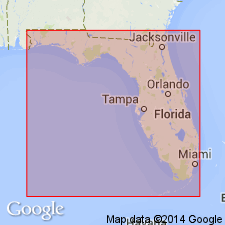
[Type locality not designated.] Mined in vicinity of Alva, Lee Co., southeastern FL.
Source: US geologic names lexicon (USGS Bull. 1350, p. 21); supplemental information from GNU records (USGS DDS-6; Reston GNULEX).
For more information, please contact Nancy Stamm, Geologic Names Committee Secretary.
Asterisk (*) indicates published by U.S. Geological Survey authors.
"No current usage" (†) implies that a name has been abandoned or has fallen into disuse. Former usage and, if known, replacement name given in parentheses ( ).
Slash (/) indicates name conflicts with nomenclatural guidelines (CSN, 1933; ACSN, 1961, 1970; NACSN, 1983, 2005, 2021). May be explained within brackets ([ ]).