The National Geologic Map Database is migrating to a new infrastructure. We apologize for any service disruptions during this process.
|
|---|


- Usage in publication:
-
- Altuda granite
- Modifications:
-
- Original reference
- Dominant lithology:
-
- Granite
- AAPG geologic province:
-
- Permian basin
Summary:
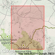
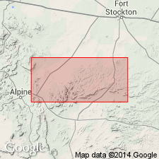
Pg. 70. Altuda granite. An intrusive granite boss lies uncovered over an area of somewhat more than a sq mi 4 miles north of Mount Ord, southwest of Altuda, Brewster County, western Texas. It is a moderately coarse-grained rock of reddish gray color, and weathers into large blocks, sometimes 20 feet in length. It rises in a hill several hundred feet high. The Carboniferous sediments which surround this hill dip away from it and have evidently at one time formed a continuous cover over whole area. [Age unknown; Denver GNU thinks it might be Tertiary.]
Source: US geologic names lexicon (USGS Bull. 896, p. 41); supplemental information from GNU records (USGS DDS-6; Denver GNULEX).
- Usage in publication:
-
- Altuda granite†
- Modifications:
-
- Abandoned
- AAPG geologic province:
-
- Permian basin
Summary:
Pg. 100. Largest igneous mass in Altuda Mountain area is at so-called Granite Mountain, or Granite Knob, 1 mile west of the James Ranch and 2 miles south of summit of the mountain. This rock was called "Altuda granite" by Udden. This is not only a misnomer, but implies a formational name for the rock, when no special term appears justified. Actually the rock is a syenite or syenite porphyry. It outcrops on several rugged hills, covered with large exfoliating boulders, and occupies an area of about a square mile.
Source: US geologic names lexicon (USGS Bull. 896, p. 41).
For more information, please contact Nancy Stamm, Geologic Names Committee Secretary.
Asterisk (*) indicates published by U.S. Geological Survey authors.
"No current usage" (†) implies that a name has been abandoned or has fallen into disuse. Former usage and, if known, replacement name given in parentheses ( ).
Slash (/) indicates name conflicts with nomenclatural guidelines (CSN, 1933; ACSN, 1961, 1970; NACSN, 1983, 2005, 2021). May be explained within brackets ([ ]).