- Usage in publication:
-
- Alta shale
- Modifications:
-
- Original reference
- Dominant lithology:
-
- Shale
- AAPG geologic province:
-
- Wasatch uplift
Summary:
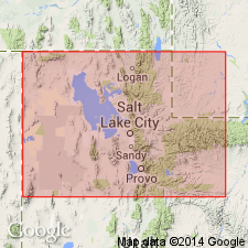
Pg. 104. Alta shale. Black or dark micaceous, sandy shale, 150 to 200 feet thick, unconformably underlying Maxfield formation and conformably overlying Brigham quartzite. Walcott collected Middle and Lower Cambrian fossils from this formation, which is named for its prominence at little town of Alta, central Wasatch Mountains, central northern Utah.
Source: US geologic names lexicon (USGS Bull. 896, p. 38).

- Usage in publication:
-
- Alta shale†
- Modifications:
-
- Abandoned
- AAPG geologic province:
-
- Wasatch uplift
Summary:
Replaced with Ophir formation, "Alta" being preoccupied.
Source: US geologic names lexicon (USGS Bull. 896, p. 38).
For more information, please contact Nancy Stamm, Geologic Names Committee Secretary.
Asterisk (*) indicates published by U.S. Geological Survey authors.
"No current usage" (†) implies that a name has been abandoned or has fallen into disuse. Former usage and, if known, replacement name given in parentheses ( ).
Slash (/) indicates name conflicts with nomenclatural guidelines (CSN, 1933; ACSN, 1961, 1970; NACSN, 1983, 2005, 2021). May be explained within brackets ([ ]).

