

- Usage in publication:
-
- Allsbury Formation*
- Modifications:
-
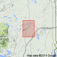
- Named
- Dominant lithology:
-
- Graywacke
- Slate
- AAPG geologic province:
-
- New England province
Summary:
Allsbury Formation named in northeastern ME. Consists dominantly of graywacke and dark-gray, black, and green slate. Graywacke occurs in graded beds and in laminae that range in thickness from fractions of an inch to several tens of feet. Thickness cannot be accurately determined because the rocks are tightly folded. Probably minimum of 1,000 ft in northeast and at least 4,000 ft in southwest. Younger than Mattawamkeag Formation (new name).
Source: GNU records (USGS DDS-6; Reston GNULEX).
- Usage in publication:
-
- Allsbury Formation*
- Modifications:
-
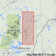
- Overview
- Areal extent
- Dominant lithology:
-
- Slate
- Sandstone
- Conglomerate
- AAPG geologic province:
-
- New England province
Summary:
Most of southeastern half of Stacyville quadrangle and small part of Shin Pond quadrangle are underlain by slate, sandstone, and conglomerate included in Allsbury Formation. As defined in Island Falls quadrangle (Ekren and Frischknecht, 1967, USGS Prof. Paper 527), the formation consists dominantly of graywacke and black, dark-gray and green slate. Ekren and Friscknecht distinguish 10 bands of black slate across outcrop belt along the parallel that includes Allsbury Road, the type locality of the formation, where they constitute about 10 percent of the formation. The Allsbury in Shin Pond and Stacyville quadrangles is part of same outcrop belt, but here it probably includes somewhat older rocks. About 1/4 of older unit, here classed as sandstone member of Allsbury, consists of coarse-grained sandstone and conglomerate interbedded with gray and green slate. Overlying member of formation consists mostly of gray and greenish-gray slate and some red slate and greenish-gray fine-grained sandstone. These members are not recognized in Island Falls quadrangle where dark carbonaceous slate appears to be more abundant. Sandstone member crops out in faulted anticline north and west of overlying upper member. Base of sandstone member not exposed. At boundary between Stacyville and Shin Pond quadrangles, exposed thickness of sandstone member is probably about 5,000 to 7,000 feet. Sandstone member is probably, at least in part, same age as Frenchville Formation (Early Silurian).
Source: GNU records (USGS DDS-6; Reston GNULEX).
For more information, please contact Nancy Stamm, Geologic Names Committee Secretary.
Asterisk (*) indicates published by U.S. Geological Survey authors.
"No current usage" (†) implies that a name has been abandoned or has fallen into disuse. Former usage and, if known, replacement name given in parentheses ( ).
Slash (/) indicates name conflicts with nomenclatural guidelines (CSN, 1933; ACSN, 1961, 1970; NACSN, 1983, 2005, 2021). May be explained within brackets ([ ]).