

- Usage in publication:
-
- Alkali Creek Tongue*
- Modifications:
-
- Named
- Dominant lithology:
-
- Sandstone
- Siltstone
- Mudstone
- Shale
- AAPG geologic province:
-
- Green River basin
Summary:
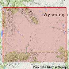
Named as tongue of Wasatch Formation. Type section designated and measured on east slope of Alkali Creek tributary of Hams Fork River, secs 14 and 23, T21N, R115W, Lincoln Co, WY in Greater Green River basin. At type, it overlies Farson Sandstone Member (new) of Green River Formation and underlies Wilkins Peak Member of Green River. Same rocks were formerly assigned to New Fork Tongue--a term that has been revised twice and is not used in this report--of Wasatch. To north where Wilkins Peak is missing, Alkali Creek underlies Cathedral Bluffs Tongue of Wasatch. Is exposed along west margin of Green River basin from about 25 mi south of Kemmerer to northeast of Big Piney. At type consists of: 108.5 ft of interbedded gray-green silty mudstone and brown sandstone; the sandstone is fine to medium grained, well to poorly sorted, parallel, wavy ripple laminated to small scale trough cross-bedded, and has abundant biotite and muscovite grains; one calcareous, wave-ripple marked fossiliferous (ostracods, fish bones) gray siltstone and green shale. Lowest and uppermost beds are mudstone. Conglomerate lenses locally. Ranges from 100-250 ft thick; thins to northeast by intertonguing and lateral replacement by main body of Wasatch, and to southeast by Farson. Freshwater lacustrine and floodplain deposit. Areal extent map, columnar sections, cross sections. Of late early Eocene age.
Source: GNU records (USGS DDS-6; Denver GNULEX).
- Usage in publication:
-
- Alkali Creek Tongue*
- Modifications:
-
- Areal extent
- Overview
- AAPG geologic province:
-
- Green River basin
Summary:
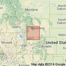
Isopach map (fig 21) shows areal extent within Greater Green River basin, WY and CO. Alkali Creek (Wasatch Formation) occurs in northwest part of Green River basin; outcrops from a few mi south of La Barge northward to Big Piney, WY. Maximum thickness is 232 ft near La Barge. Thins and merges with main body of Wasatch southward along western margin of Green River basin. Missing due to erosion north of Big Piney and along eastern parts of Wyoming thrust belt. Intertongues with and is replaced by Farson Sandstone Member of Green River Formation in subsurface in southeastward direction. Stratigraphic chart; cross sections. Eocene age.
Source: GNU records (USGS DDS-6; Denver GNULEX).

- Usage in publication:
-
- Alkali Creek Tongue*
- Modifications:
-
- Overview
- AAPG geologic province:
-
- Green River basin
Summary:
Paleogeographic map (fig. 52) of this tongue of Wasatch Formation and Farson Sandstone Member and upper part of Scheggs Bed of Tipton Shale Member of Green River Formation showing depositional environments in Greater Green River basin. Consists of flood-plain deposits that intertongue with and replace lacustrine sediments of Farson along northwest margins of basin where Alkali Creek reaches a thickness of 250 ft in outcrop. In subsurface to east of outcrops Alkali Creek thins from its base upward by intertonguing with upper part of Farson. Overlies Farson; underlies Rife Bed of Tipton. Generalized stratigraphic correlation chart (fig. 41). Eocene age.
Source: GNU records (USGS DDS-6; Denver GNULEX).
For more information, please contact Nancy Stamm, Geologic Names Committee Secretary.
Asterisk (*) indicates published by U.S. Geological Survey authors.
"No current usage" (†) implies that a name has been abandoned or has fallen into disuse. Former usage and, if known, replacement name given in parentheses ( ).
Slash (/) indicates name conflicts with nomenclatural guidelines (CSN, 1933; ACSN, 1961, 1970; NACSN, 1983, 2005, 2021). May be explained within brackets ([ ]).