

- Usage in publication:
-
- Aleuts member
- Modifications:
-
- Original reference
- Dominant lithology:
-
- Shale
- Sandstone
- Conglomerate
- AAPG geologic province:
-
- [Alaska Peninsula province]
Summary:
Pg. 203 (table 1), 205-206. Aleuts member of Kialagvik formation. Lower 650 feet consists of dark-gray to black shale grading upward into gray shaly sandstone; upper 450 feet consists of interbedded sandstone, shale, and conglomerate, increasing in coarseness upward with several beds of conglomerate in upper 200 feet. Underlies Kolosh member (new); overlies Bidarka formation (new). Age is Early Jurassic.
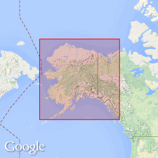
Occurs in vicinity of Wide Bay, south of Katmai National Monument, Alaska Peninsula, south-central AK.
Source: US geologic names lexicon (USGS Bull. 1200, p. 48).
For more information, please contact Nancy Stamm, Geologic Names Committee Secretary.
Asterisk (*) indicates published by U.S. Geological Survey authors.
"No current usage" (†) implies that a name has been abandoned or has fallen into disuse. Former usage and, if known, replacement name given in parentheses ( ).
Slash (/) indicates name conflicts with nomenclatural guidelines (CSN, 1933; ACSN, 1961, 1970; NACSN, 1983, 2005, 2021). May be explained within brackets ([ ]).