

- Usage in publication:
-
- Alder Creek beds
- Modifications:
-
- Original reference
- Dominant lithology:
-
- Conglomerate
- AAPG geologic province:
-
- Northern Coast Range province
Summary:
Pg. 139-141. Alder Creek beds. Beds belong to Coastal Belt of Franciscan Formation. Cobble and boulder conglomerate. In these beds are abundant clasts of quartz, black chert, red radiolarian chert, quartz-veined sandstone, laminated argillite, silty gray limestone, and siliceous volcanic rocks, together with minor amounts of quartz diorite containing metagreenstone. Beds strike N. 15-30 deg. W. and dip 60 deg. NE to vertical. Top of section is upstream toward east. Structure may be simple homocline with aggregate thickness of more than 20,000 feet. Age is Late Cretaceous, based on microfossils. Beds belong to Coastal Belt of Franciscan Formation.
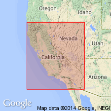
Exposed in Alder Creek area. Alder Creek is short stream that enters Pacific Ocean about 4 mi north of Point Arena, Mendocino Co., CA.
Source: US geologic names lexicon (USGS Bull. 1350, p. 12).
For more information, please contact Nancy Stamm, Geologic Names Committee Secretary.
Asterisk (*) indicates published by U.S. Geological Survey authors.
"No current usage" (†) implies that a name has been abandoned or has fallen into disuse. Former usage and, if known, replacement name given in parentheses ( ).
Slash (/) indicates name conflicts with nomenclatural guidelines (CSN, 1933; ACSN, 1961, 1970; NACSN, 1983, 2005, 2021). May be explained within brackets ([ ]).