

- Usage in publication:
-
- Alder Creek basalt
- Modifications:
-
- Original reference
- Dominant lithology:
-
- Basalt
- AAPG geologic province:
-
- Klamath Mountains province
Summary:
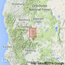
Pg. 46-47. Alder Creek basalt. Contains conspicuous phenocrysts of augite. Has blocky to scoriaceous crust. Thickness 100 to 150 feet. Covers Butte Creek basalt (new). Age is Recent.
Issued from fissure near top of precipitous north wall of Alder Creek Canyon and cascaded 1,700 feet to canyon floor, Macdoel quadrangle, northern CA.
Source: US geologic names lexicon (USGS Bull. 1200, p. 46).
For more information, please contact Nancy Stamm, Geologic Names Committee Secretary.
Asterisk (*) indicates published by U.S. Geological Survey authors.
"No current usage" (†) implies that a name has been abandoned or has fallen into disuse. Former usage and, if known, replacement name given in parentheses ( ).
Slash (/) indicates name conflicts with nomenclatural guidelines (CSN, 1933; ACSN, 1961, 1970; NACSN, 1983, 2005, 2021). May be explained within brackets ([ ]).