

- Usage in publication:
-
- Alcova limestone member*
- Modifications:
-
- Original reference
- Dominant lithology:
-
- Limestone
- AAPG geologic province:
-
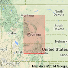
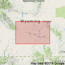
- Wind River basin
Summary:
Pg. 14, etc. Alcova limestone member of Chugwater formation. Name here proposed for 8-foot bed of marine limestone lying 335 feet below top of Chugwater formation at Alcova, Natrona County, central Wyoming. It is hard, resistant, purplish limestone, which outcrops in conspicuous ledges. Was noted at all localities examined in Big Horn Basin. Lies 420 feet below top of "Red Beds" at Thermopolis and 345 feet below top near Rawlins. At west end of Casper Mountain it is only 73 feet below top of Chugwater. Occurs throughout Casper Range but not observed east of this range nor southeast of Freezeout Hills. Is probably Lower Triassic.
Source: US geologic names lexicon (USGS Bull. 896, p. 28).
- Usage in publication:
-
- Alcova Limestone Member
- Modifications:
-
- Age modified
- AAPG geologic province:
-
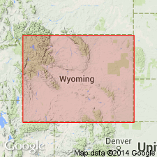
- Bighorn basin
- Wind River basin
Summary:
Study area consists of outcrops along a line of section from about 9 mi south of Tensleep, Washakie Co, WY, Bighorn basin to about 8 mi north of Dubois, Fremont Co, WY, Wind River basin. Unit is second member from base of five members of Chugwater Formation. Upper boundary of overlying Crow Mountain Member of Chugwater is disconformable and it is at this disconformity that Lower-Upper Triassic boundary is placed. Thus, age of Crow Mountain and Alcova are modified to Early Triassic. Overlies Red Peak Member of Chugwater.
Source: GNU records (USGS DDS-6; Denver GNULEX).
- Usage in publication:
-
- Alcova Limestone Member
- Modifications:
-
- Revised
- AAPG geologic province:
-
- Bighorn basin
Summary:
Assigned to Crow Mountain Formation (rank raised) of Chugwater Group (rank raised) in Bighorn basin, WY. Stratigraphic chart. Overlies unnamed variegated sandy facies of Crow Mountain; underlies unnamed basal sandstone unit of Crow Mountain. Alcova thought to represent minor but widespread break in Crow Mountain deposition. Early Triassic age.
Source: GNU records (USGS DDS-6; Denver GNULEX).
- Usage in publication:
-
- Alcova Limestone*
- Modifications:
-
- Revised
- AAPG geologic province:
-
- Wind River basin
- Green River basin
Summary:
Raised to formation rank and assigned to Chugwater Group (rank raised) in south-central WY, Wind River and Greater Green River basins. Overlies Red Peak Formation (rank raised); underlies Crow Mountain Sandstone (rank raised) north of Granite Mountains in Wind River basin and underlies Red Draw Member (new) of Jelm Formation (rank raised) south and east of Granite Mountains; all units are assigned to Chugwater. Triassic age.
Source: GNU records (USGS DDS-6; Denver GNULEX).
- Usage in publication:
-
- Alcova Limestone Member
- Modifications:
-
- Revised
- Areal extent
- AAPG geologic province:
-
- Yellowstone province
- Wind River basin
- Green River basin
Summary:
Rank retained as member and assigned to Crow Mountain Formation of Chugwater Group in central WY and as member of Jelm Formation in south-central WY. In western WY, Alcova grades into upper sandstone and limestone unit of Thaynes Formation and is considered an eastward-extending tongue of this upper unit of the Thaynes. Alcova, as a member of Crow Mountain, extends southeast from Red Mountain area, Teton Co, Yellowstone province, through Wind River basin to Seminoe Mountains, Carbon Co, Greater Green River basin; Alcova continues southeast to Freezeout Mountains, Carbon Co, Greater Green River basin, where it is assigned as a member of Jelm Formation of Chugwater (fig. 3). East of Freezeout Mountains, Alcova becomes argillaceous and pinches out. Member rank retained because 1) Alcova is thin (maximum thickness is 20 ft) and is missing locally due to non-deposition or erosion; 2) sandstone below Alcova is petrographically identical to basal variegated sandstone unit of Crow Mountain and cannot be differentiated where Alcova is absent; and 3) it is difficult to separate variegated sandstone unit from Alcova in subsurface. Correlation chart; cross sections. Early Triassic age.
Source: GNU records (USGS DDS-6; Denver GNULEX).
- Usage in publication:
-
- Alcova Limestone*
- Modifications:
-
- Age modified
- Overview
- AAPG geologic province:
-
- Yellowstone province
- Green River basin
- Wind River basin
- Bighorn basin
- Powder River basin
Summary:
Within Yellowstone province, Greater Green River, Wind River, Bighorn, and Powder River basins, Alcova shown (cross section A-A', plate 1) to occur beneath Tr-2 unconformity at base of Crow Mountain Sandstone (age modified). Tr-2 unconformity marks Lower-Upper Triassic boundary, thus Alcova is older than Late Triassic. On plate 1 Alcova shown only as Triassic age. [Possibly Middle or Early Triassic age.] In south-central WY and adjacent parts of CO, Alcova overlies Red Peak Formation and underlies Gartra Member of Chinle Formation or Red Draw Member of Jelm Formation.
Source: GNU records (USGS DDS-6; Denver GNULEX).
For more information, please contact Nancy Stamm, Geologic Names Committee Secretary.
Asterisk (*) indicates published by U.S. Geological Survey authors.
"No current usage" (†) implies that a name has been abandoned or has fallen into disuse. Former usage and, if known, replacement name given in parentheses ( ).
Slash (/) indicates name conflicts with nomenclatural guidelines (CSN, 1933; ACSN, 1961, 1970; NACSN, 1983, 2005, 2021). May be explained within brackets ([ ]).