

- Usage in publication:
-
- Alcalde shale
- Modifications:
-
- Original reference
- Dominant lithology:
-
- Shale
- AAPG geologic province:
-
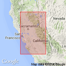
- Sacramento basin
Summary:
Pg. 962 (fig. 2), 991. Panoche group (or formation) is subdivided into 10 units. Alcalde shale is seventh in sequence (ascending). Underlies Joaquin Ridge sandstone (new); overlies Los Gatos sandstone. Name credited to J.Q. Anderson. Assigned to Cachenian stage (new). [Age is Late Cretaceous.]
[Type locality not stated. Occurs in Alcalde Hills, Coalinga-Ortigalito area, San Joaquin Valley, west-central CA.]
Source: US geologic names lexicon (USGS Bull. 1200, p. 44).
For more information, please contact Nancy Stamm, Geologic Names Committee Secretary.
Asterisk (*) indicates published by U.S. Geological Survey authors.
"No current usage" (†) implies that a name has been abandoned or has fallen into disuse. Former usage and, if known, replacement name given in parentheses ( ).
Slash (/) indicates name conflicts with nomenclatural guidelines (CSN, 1933; ACSN, 1961, 1970; NACSN, 1983, 2005, 2021). May be explained within brackets ([ ]).