The National Geologic Map Database is migrating to a new infrastructure. We apologize for any service disruptions during this process.
|
|---|


- Usage in publication:
-
- Albion schist member*
- Modifications:
-
- Original reference
- Dominant lithology:
-
- Schist
- Phyllite
- AAPG geologic province:
-
- New England province
Summary:
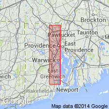
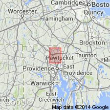
Pg. 8, 10-13, and map. Albion schist member of Grafton (Westboro) quartzite. Quartz phyllite and fine-grained micaceous quartz schist upon which village of Albion, [eastern Rhode Island], stands. Of light gray color. Is a band down center of Grafton quartzite, which consists of two flanking bands of granular massive quartzite. The finer grain and presence of considerable beds of phyllite distinguish this member from rest of Grafton quartzite. Age is pre-Cambrian.
Source: US geologic names lexicon (USGS Bull. 896, p. 26).
- Usage in publication:
-
- Albion Schist Member*
- Modifications:
-
- Revised
- AAPG geologic province:
-
- New England province
Summary:
†Grafton quartzite abandoned. Albion schist member assigned to Westboro quartzite. Age is Algonkian(?).
Source: GNU records (USGS DDS-6; Reston GNULEX).
- Usage in publication:
-
- Albion schist member*
- Modifications:
-
- Overview
- AAPG geologic province:
-
- New England province
Summary:
Albion is lens of schist 4,500 ft long and 400 ft thick that lies within Westboro quartzite. Includes conglomerate beds that contain boulders as much as 10 ft in diameter. Age is Precambrian(?).
Source: GNU records (USGS DDS-6; Reston GNULEX).
- Usage in publication:
-
- Albion Schist Member*
- Modifications:
-
- Revised
- AAPG geologic province:
-
- New England province
Summary:
Albion Schist Member reassigned to Quinnville Quartzite.
Source: GNU records (USGS DDS-6; Reston GNULEX).
For more information, please contact Nancy Stamm, Geologic Names Committee Secretary.
Asterisk (*) indicates published by U.S. Geological Survey authors.
"No current usage" (†) implies that a name has been abandoned or has fallen into disuse. Former usage and, if known, replacement name given in parentheses ( ).
Slash (/) indicates name conflicts with nomenclatural guidelines (CSN, 1933; ACSN, 1961, 1970; NACSN, 1983, 2005, 2021). May be explained within brackets ([ ]).