

- Usage in publication:
-
- Alameda formation*
- Modifications:
-
- Original reference
- Biostratigraphic dating
- Dominant lithology:
-
- Clay
- AAPG geologic province:
-
- Northern Coast Range province
- Santa Cruz basin
Summary:
Alameda formation. Yellow sandy clay, of very uniform fine texture, which without much change in character passes into beds that carry marine shells. Intercalated with these marine deposits are non persistent beds of gravel of fluviatile origin, the conditions indicating delta formation alternating with marine or estuarine deposition. Thickness several hundred feet. Unconformably underlies San Antonio formation and unconformably overlies Campus formation. Age is Pleistocene.
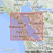
Named for fact it is well developed at Alameda, San Francisco region, western CA.
Source: US geologic names lexicon (USGS Bull. 896, p. 22).
- Usage in publication:
-
- Alameda formation*
- Modifications:
-
- Revised
- AAPG geologic province:
-
- Northern Coast Range province
- Santa Cruz basin
Summary:
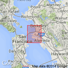
Alameda formation. Upper exposed part (in stream cuts and wave-cut banks) is clay, sandy, silty with few pebbles. Formation includes several hundred feet of sediments underlying the bay and coastal plain, comprising continental and marine gravels, sands, silts, and clays, with some shells and organic material in places. Olive-gray to moderate yellowish-brown color. Borings indicate soil zones within the Alameda; in places an old soil is exposed at top. Maximum known thickness 1,050 feet (boring log from Bay Farm Island, southeast of Oakland West quadrangle). Underlies Temescal formation, Merritt sand, or Bay mud. Upper part includes Trask and Rolston's (1951) Posey formation. Age is Pleistocene.
Source: Publication; US geologic names lexicon (USGS Bull. 1200, p. 35).
- Usage in publication:
-
- Alameda Formation*
- Modifications:
-
- Areal extent
- AAPG geologic province:
-
- Northern Coast Range province
Summary:
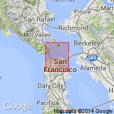
Alameda Formation, a Pleistocene marine and continental formation found on E shore of and in San Francisco Bay may be correlative with a deposit in Lake Merced area of "light yellow sands, about 200 ft thick, which probably lies unconformably upon the Merced" (Lawson, 1914, p.15). [These sands are apparently part of Colma Fm in this report.]
Source: GNU records (USGS DDS-6; Menlo GNULEX).
For more information, please contact Nancy Stamm, Geologic Names Committee Secretary.
Asterisk (*) indicates published by U.S. Geological Survey authors.
"No current usage" (†) implies that a name has been abandoned or has fallen into disuse. Former usage and, if known, replacement name given in parentheses ( ).
Slash (/) indicates name conflicts with nomenclatural guidelines (CSN, 1933; ACSN, 1961, 1970; NACSN, 1983, 2005, 2021). May be explained within brackets ([ ]).