The National Geologic Map Database is migrating to a new infrastructure. We apologize for any service disruptions during this process.
|
|---|


- Usage in publication:
-
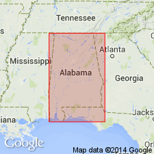
- Alabama (Claiborne)
- Modifications:
-
- Original reference
- Dominant lithology:
-
- not stated
- AAPG geologic province:
-
- Mid-Gulf Coast basin
- South Georgia sedimentary province
- Black Warrior basin
Summary:
[On this map the name Alabama (Claiborne) is applied to deposits underlying St. Stephens limestone and overlying the Lignitic, and the deposits thus designated are divided into Claiborne above and Buhrstone below. Age is middle Eocene. Apparently named from exposures in AL. Name replaced with Claiborne group.]
Source: US geologic names lexicon (USGS Bull. 896, p. 21).
For more information, please contact Nancy Stamm, Geologic Names Committee Secretary.
Asterisk (*) indicates published by U.S. Geological Survey authors.
"No current usage" (†) implies that a name has been abandoned or has fallen into disuse. Former usage and, if known, replacement name given in parentheses ( ).
Slash (/) indicates name conflicts with nomenclatural guidelines (CSN, 1933; ACSN, 1961, 1970; NACSN, 1983, 2005, 2021). May be explained within brackets ([ ]).