The National Geologic Map Database is migrating to a new infrastructure. We apologize for any service disruptions during this process.
|
|---|


- Usage in publication:
-
- Agathla sandstone
- Modifications:
-
- Original reference
- Dominant lithology:
-
- Sandstone
- AAPG geologic province:
-
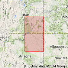
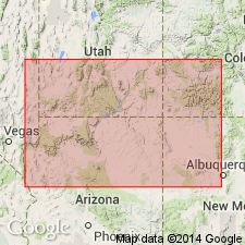
- Black Mesa basin
Summary:
Pg. 137; No. 4, p. 383-384, 423, 437. Agathla sandstone. Pinkish sandstone, 10 to 15 feet thick, a local representative of Moencopie beds. Unconformably underlies Shinarump conglomerate near Agathla Peak, northeastern Arizona [northern part of Navajo County]. Age is Early Triassic.
Source: US geologic names lexicon (USGS Bull. 896, p. 17).
- Usage in publication:
-
- Agathla sandstone
- Modifications:
-
- Not used
- AAPG geologic province:
-
- Black Mesa basin
Summary:
Pg. 1441, etc. Agathla sandstone. [See note under Agathla shale.]
Source: US geologic names lexicon (USGS Bull. 896, p. 17).
For more information, please contact Nancy Stamm, Geologic Names Committee Secretary.
Asterisk (*) indicates published by U.S. Geological Survey authors.
"No current usage" (†) implies that a name has been abandoned or has fallen into disuse. Former usage and, if known, replacement name given in parentheses ( ).
Slash (/) indicates name conflicts with nomenclatural guidelines (CSN, 1933; ACSN, 1961, 1970; NACSN, 1983, 2005, 2021). May be explained within brackets ([ ]).