The National Geologic Map Database is migrating to a new infrastructure. We apologize for any service disruptions during this process.
|
|---|


- Usage in publication:
-
- Addington sandstone member*
- Modifications:
-
- Original reference
- Dominant lithology:
-
- Sandstone
- AAPG geologic province:
-
- Appalachian basin
Summary:
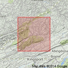
Addington sandstone member of Wise formation. Hard white sandstone, 20 to 40 feet thick, underlying Addington coal and resting on Clintwood coal or separated from it by few feet [0 to 20, according to A.W. Giles, Virginia Geol. Survey Bull., no. 26, 1925] of shale. Age is Pennsylvanian. Local unit of stratigraphic importance; present in Wise and Scott Counties, southwestern Virginia.
Named from Addington Station, 1.5 mi south of Glamorgan, Wise Co., southwestern VA.
Source: US geologic names lexicon (USGS Bull. 896, p. 13); supplemental information from GNU records (USGS DDS-6; Reston GNULEX).
For more information, please contact Nancy Stamm, Geologic Names Committee Secretary.
Asterisk (*) indicates published by U.S. Geological Survey authors.
"No current usage" (†) implies that a name has been abandoned or has fallen into disuse. Former usage and, if known, replacement name given in parentheses ( ).
Slash (/) indicates name conflicts with nomenclatural guidelines (CSN, 1933; ACSN, 1961, 1970; NACSN, 1983, 2005, 2021). May be explained within brackets ([ ]).