

- Usage in publication:
-
- Acworth gneiss
- Modifications:
-
- Original reference
- Dominant lithology:
-
- Gneiss
- AAPG geologic province:
-
- Piedmont-Blue Ridge province
Summary:
Pg. 408. Acworth gneiss. The extreme southeast corner of mapped area is occupied by Acworth gneiss, which, like Corbin granite is probably Archean in age, and formed the foundation on which oldest sediments of region were deposited. [Appears to be same as Carolina gneiss.]
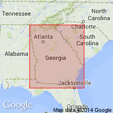
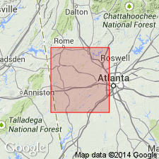
[Named from development around Acworth, Cobb Co., northwestern GA (Cartersville district).]
Source: US geologic names lexicon (USGS Bull. 896, p. 12).
- Usage in publication:
-
- Acworth Gneiss
- Modifications:
-
- Overview
- AAPG geologic province:
-
- Piedmont-Blue Ridge province
Summary:
Kellogg Creek Mafic Complex completely encloses two separate units of foliated, medium-grained muscovite-epidote-biotite-quartz-plagioclase orthogneiss of the Acworth Gneiss. Though McConnell and Abrams (1984) interpreted the Kellogg Creek and the Acworth as the two oldest units of the New Georgia Group, in fault contact with the Univeter Formation, current investigation strongly suggests that the contact is conformable, therefore making Kellogg Creek and Acworth much younger than previously thought. Sequence conformably overlies Canton Formation.
Source: GNU records (USGS DDS-6; Reston GNULEX).
For more information, please contact Nancy Stamm, Geologic Names Committee Secretary.
Asterisk (*) indicates published by U.S. Geological Survey authors.
"No current usage" (†) implies that a name has been abandoned or has fallen into disuse. Former usage and, if known, replacement name given in parentheses ( ).
Slash (/) indicates name conflicts with nomenclatural guidelines (CSN, 1933; ACSN, 1961, 1970; NACSN, 1983, 2005, 2021). May be explained within brackets ([ ]).