

- Usage in publication:
-
- Absaroka sequence
- Modifications:
-
- Original reference
- AAPG geologic province:
-
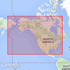
- Bighorn basin
- North America
Summary:
Pg. 110-111, 112 (table 2), 121. Absaroka sequence. "Operational unit" for use in interregional facies analysis. Term derived from Absaroka Mountain Range in northwestern Wyoming and southern Montana. Outcrops along eastern flank of range at western border of Bighorn basin expose base of sequence at contact between Madison limestone and Amsden formation. Top of sequence not defined, but no regionally significant discontinuity is recognized short of base of Upper Jurassic Morrison formation. Age is Mississippian (Chesterian) to Pennsylvanian (Des Moinesian).
Source: US geologic names lexicon (USGS Bull. 1200, p. 14).
For more information, please contact Nancy Stamm, Geologic Names Committee Secretary.
Asterisk (*) indicates published by U.S. Geological Survey authors.
"No current usage" (†) implies that a name has been abandoned or has fallen into disuse. Former usage and, if known, replacement name given in parentheses ( ).
Slash (/) indicates name conflicts with nomenclatural guidelines (CSN, 1933; ACSN, 1961, 1970; NACSN, 1983, 2005, 2021). May be explained within brackets ([ ]).