

- Usage in publication:
-
- Abington interstade
- Abington silt
- Modifications:
-
- Original reference
- Dominant lithology:
-
- Silt
- AAPG geologic province:
-
- Cincinnati arch
Summary:
Pg. 665, 672, 681 (fig. 3, table 6). Abington interstade, Abington silt. Illinoian interstadial deposit represented by calcareous organic-rich silt (Wildman Farm unit 2, Smith Farm unit 2, Darrah Farm unit 3, and Porter Farm unit 2) is herein named Abington interstadial. Follows Centerville stade (new); followed by Richmond stade (new). Abington silt overlies Centerville till; underlies Richmond till. Age is Wisconsin (Illinoian).
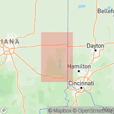
Type area: Wildman Farm section, which is a composite of three nearby (0.1 mi) exposures along south bank of small stream in NE/4 sec. 33, T. 16 N., R. 14 E., Wayne Co., south-central IN. Named from village of Abington, about 3 mi south of Wildman, Smith, and Darrah Farm sections.
Source: US geologic names lexicon (USGS Bull. 1350, p. 5); GNU records (USGS DDS-6; Reston GNULEX).
For more information, please contact Nancy Stamm, Geologic Names Committee Secretary.
Asterisk (*) indicates published by U.S. Geological Survey authors.
"No current usage" (†) implies that a name has been abandoned or has fallen into disuse. Former usage and, if known, replacement name given in parentheses ( ).
Slash (/) indicates name conflicts with nomenclatural guidelines (CSN, 1933; ACSN, 1961, 1970; NACSN, 1983, 2005, 2021). May be explained within brackets ([ ]).