- Usage in publication:
-
- Abilene conglomerate
- Modifications:
-
- Original reference
- Dominant lithology:
-
- Conglomerate
- AAPG geologic province:
-
- Salina basin
Summary:
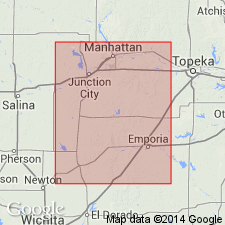
Pg. 786, 789, 797 (table of stratigraphic units). Abilene conglomerate. Conglomerate, 15 to 20 feet thick, lying about 150 feet above base of Marion formation. Underlain by shaly buff limestones (containing beetle PLEUROPHORUS) and below the buff limestones and marls of the Marion formation. Age is considered Permian.
[Named from Abilene, Dickinson Co., central KS.]
Source: US geologic names lexicon (USGS Bull. 896, p. 8); supplemental information from GNU records (USGS DDS-6; Denver GNULEX).
- Usage in publication:
-
- Abilene conglomerate member
- Modifications:
-
- Revised
Summary:
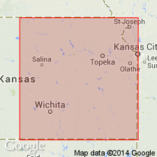
Abilene conglomerate consists of limestone and quartz pebbles and is top member of Marion beds [restricted] as here defined. [See also entry under †Marion formation.]
Source: US geologic names lexicon (USGS Bull. 896, p. 8-9).
- Usage in publication:
-
- Abilene conglomerate member
- Modifications:
-
- Areal extent
Summary:
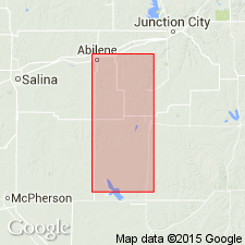
Abilene conglomerate is top member of Marion formation. Recognized in central Kansas. [See under †Marion formation]
Source: US geologic names lexicon (USGS Bull. 896, p. 8-9).
- Usage in publication:
-
- Abilene conglomerate member
- Modifications:
-
- Areal extent
- AAPG geologic province:
-
- Salina basin
- Sedgwick basin
Summary:
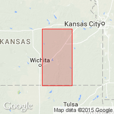
Abilene conglomerate member, top member of Marion formation. Is a peculiar, somewhat variable, conglomerated limestone. At type locality, in vicinity of Abilene, central Kansas, it is a calcareous conglomerate containing some sand and sandstone pebbles. In vicinity of Herington and Marion [Dickinson and Marion Counties] it is represented, according to Beede, by "heavy, hard, perhaps dolomitic stone, composed of fragments of yellow, orange, and gray masses firmly united in a light-gray cementing material." Overlies Pearl shale member.
Source: US geologic names lexicon (USGS Bull. 896, p. 8-9).
- Usage in publication:
-
- Abilene conglomerate
- Modifications:
-
- Age modified
Summary:
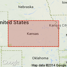
Pg. 63, footnote. So-called Abilene conglomerate is Tertiary. It appears that so-called Abilene conglomerate, which has previously been referred to uppermost part of Marion formation, is in reality a Tertiary deposit. It contains fragments of rock which apparently belong to Dakota sandstone, and at no point has it been observed in a stratigraphic position beneath the Wellington shale.
[GNC remark (ca. 1938, US geologic names lexicon, USGS Bull. 896, p. 9, 1301): Subsequent reports treated Pearl shale as top member of Marion formation and included the salt beds in overlying Wellington formation (p. 1301). Other geologists continued to classify [Abilene conglomerate] as Permian (p. 9).]
Source: US geologic names lexicon (USGS Bull. 896, p. 8-9, 1300-1301).
- Usage in publication:
-
- Abilene limestone
- Modifications:
-
- Areal extent
Summary:
Pg. 982, in reply to question of C.N. Gould: "Is it not true that at the location of the Abilene formation, is a mud or clay conglomerate?"
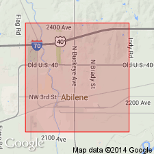
This bed in type section at Abilene, Kansas, at the few exposures where it is unaltered, is a soft gray limestone about 2 feet thick. The interval down to top of Herington limestone varies from 40 feet at Abilene, Kansas, to about 50 feet at Ponca City, Oklahoma. In majority of exposures this calcareous material has been partly or wholly dissoved and redeposited in same horizon, often with gypsum derived by solution from strata higher in the section. Due to this mode of origin, pieces of the green shale above Abilene limestone, as it might be better named, have been included in some places in this massive bed of secondary limestone. It can no more be called a conglomerate than the top member of the Herington, which is often similarly altered at type vicinity.
Source: US geologic names lexicon (USGS Bull. 896, p. 8-9).

- Usage in publication:
-
- Abilene conglomerate
- Modifications:
-
- Overview
- AAPG geologic province:
-
- Salina basin
Summary:
Letter dated April 15, 1937, from W.A. Ver Wiebe. Geologists of Wichita and other parts of Kansas are agreed as to Tertiary age of Abilene conglomerate.
Source: US geologic names lexicon (USGS Bull. 896, p. 8-9).
- Usage in publication:
-
- Abilene conglomerate
- Modifications:
-
- Revised
- AAPG geologic province:
-
- Sedgwick basin
Summary:
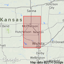
Pg. 60. Abilene conglomerate. Locally conglomeratic bed occurs at base of McPherson formation. Material in conglomerate is similar to materials composing so-called Abilene conglomerate, a good exposure of which is near northwest corner sec. 30, T. 18 S., R. 2 E., just east of mapped area [in Marion County]. Believed that, at various outcrops, beds called Abilene conglomerate may represent different ages; hence term Abilene may not have much stratigraphic significance. Conglomerate at base of McPherson in this area [McPherson County, most of Harvey County, and parts of Sedgwick, Marion, and Reno Counties] may be equivalent to some exposures of the Abilene conglomerate in Dickinson County [to the north].
Source: US geologic names lexicon (USGS Bull. 1200, p. 9).
For more information, please contact Nancy Stamm, Geologic Names Committee Secretary.
Asterisk (*) indicates published by U.S. Geological Survey authors.
"No current usage" (†) implies that a name has been abandoned or has fallen into disuse. Former usage and, if known, replacement name given in parentheses ( ).
Slash (/) indicates name conflicts with nomenclatural guidelines (CSN, 1933; ACSN, 1961, 1970; NACSN, 1983, 2005, 2021). May be explained within brackets ([ ]).

