

- Usage in publication:
-
- Garden Creek phyllite*
- Modifications:
-
- Named
- Dominant lithology:
-
- Phyllite
- AAPG geologic province:
-
- Idaho Mountains province
Summary:
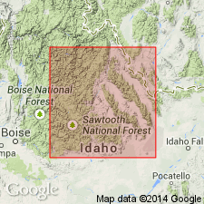
Named for exposures along Garden Creek, T13N, R18E, its type locality, Custer Co, ID in the Idaho Mountains province. Is recognized only along the gorges of Garden and Bayhorse Creeks in the north part of the Bayhorse quad. Is the oldest unit described in report. Is overlain unconformably by the newly named Bayhorse dolomite. Consists of soft, easily weathered, dark gray to nearly black phyllite that is slightly calcareous locally. Has abundant sericite on cleavage surfaces. Estimated to be several hundred ft thick, but contortion of beds and poor exposures prevent accurate measurement. Base not exposed. Bedding represented by thin crenulated bands. Provisionally assigned to the Cambrian. Stratigraphic chart. Correlated with the lower part of the St. Charles limestone, Nounan limestone, and older rocks in southeast ID, and with all or parts of the Hasmark and underlying Silver Hill formation of Phillipsburg area, MT. Correlation chart.
Source: GNU records (USGS DDS-6; Denver GNULEX).
- Usage in publication:
-
- Garden Creek Phyllite*
- Modifications:
-
- Areal extent
- Age modified
- Overview
- AAPG geologic province:
-
- Idaho Mountains province
Summary:
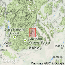
The only recognized occurrences in Bayhorse area, Custer Co, ID in the Idaho Mountains province, are in the Garden Creek and Daugherty Gulch valleys and along canyon walls in Bayhorse anticline where the anticline has been breached by Bayhorse Creek. These exposures total 2 1/4 sq mi. Massive dolomite discovered in floor of Bayhorse Creek concordantly beneath the Garden Creek and designated the "basal dolomite of Bayhorse Creek" suggests stratigraphic continuity. The basal dolomite of Bayhorse Creek of this report was designated "Garden Creek dolomite," an informal term, by Wheeler. The dolomite is not a lens of the Garden Creek; it is a separate formation. Several carbonate beds, in lowest part Garden Creek along Garden Creek where no dolomite exposed, suggests basal contact gradational with the older dolomite unit. Crumpling, contortion, and poor exposures hamper accurate measurement of formation thickness. Estimated to be 1,200 to 1,400 ft thick on north side of Bayhorse Creek and 2,000 ft thick west of town of Bayhorse. The 1,200 to 1,400 ft measurement thought to be the more accurate measurement. The higher figures may have resulted from flowage. Presence of dark carbonaceous material and iron-sulfide suggest anaerobic environment not hospitable to living organisms. Assigned to Middle? Cambrian on basis of correlation with other units in southeast ID. Columnar sections.
Source: GNU records (USGS DDS-6; Denver GNULEX).
For more information, please contact Nancy Stamm, Geologic Names Committee Secretary.
Asterisk (*) indicates published by U.S. Geological Survey authors.
"No current usage" (†) implies that a name has been abandoned or has fallen into disuse. Former usage and, if known, replacement name given in parentheses ( ).
Slash (/) indicates name conflicts with nomenclatural guidelines (CSN, 1933; ACSN, 1961, 1970; NACSN, 1983, 2005, 2021). May be explained within brackets ([ ]).