

- Usage in publication:
-
- Death Canyon member
- Modifications:
-
- Original reference
- Dominant lithology:
-
- Limestone
- AAPG geologic province:
-
- Yellowstone province
- Wind River basin
Summary:
Pg. 119+. Death Canyon member of Gros Ventre formation. Largely fine-grained dark-gray and black limestone mottled with brown; the limestones thin-bedded for most part, in layers 0.5 to several inches thick, separated by argillaceous seams and partings. Fossils. Thickness 285 feet in Teton Range. Gradually thins and interfingers with shale to east, disappearing in middle parts of Owl Creek and Wind River ranges. Is 219 feet thick at DuNoir, with many shale beds in lower part; 100+/- feet at Torry Creek; about 40 feet at Bull Lake Creek. [See Bull Lake Creek shale of Branson.] Overlies lower shale division (100+/- feet thick) of Gros Ventre formation and underlies upper shale division (200 to 300 feet thick) of the Gros Ventre. Age is Middle Cambrian. Report includes cross sections.
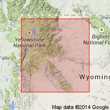
Type section: along divide between Death and Teton Canyons, in Teton Range, Teton Co., western WY. Recognized in Teton, Owl Creek, and Wind River Mountains.
Source: US geologic names lexicon (USGS Bull. 896, p. 579); supplemental information from GNU records (USGS DDS-6; Denver GNULEX).
- Usage in publication:
-
- Death Canyon limestone
- Modifications:
-
- Revised
- AAPG geologic province:
-
- Yellowstone province
- Green River basin
- Bighorn basin
- Wind River basin
Summary:
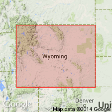
Gros Ventre formation raised to group rank and its members raised to formation rank in a footnote on Chart II. Includes (ascending): Wolsey shale, Death Canyon limestone, and Park shale. The lower two formations are of Albertan age; the Park is mostly Albertan and at top early Dresbachian age. Gros Ventre overlies Flathead sandstone and underlies Dunoir limestone (rank raised) of Gallatin group (rank raised). This nomenclature is used from the Yellowstone province and Greater Green River basin of western WY east to the western Bighorn basin. The equivalent of the Gros Ventre in the Wind River basin is the newly named Buck Spring formation. In the eastern Bighorn and western Powder River basin, Gros Ventre is designated as an undivided formation. Gros Ventre apparently not divisible east of Death Canyon pinchout in the Bighorn basin.
Source: GNU records (USGS DDS-6; Denver GNULEX).
- Usage in publication:
-
- Death Canyon limestone
- Modifications:
-
- Overview
- AAPG geologic province:
-
- Wind River basin
Summary:
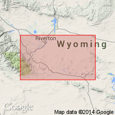
Is a hard, sublithographic to lithographic, dark gray to tan, mottled, very thin bedded limestone above the Wolsey shale and beneath the Park shale, and the middle formation of the Gros Ventre group. Cross sections show Death Canyon as present in the subsurface of western Fremont Co, WY in the Wind River basin and tonguing out in the central part of that county. East of where Death Canyon pinches out, the Wolsey-Park sequence is not separable. Is not very fossiliferous. Contains a GLYPHASPIS fauna, a representative Middle Cambrian fauna. Is an offshore, shallow water deposit.
Source: GNU records (USGS DDS-6; Denver GNULEX).
For more information, please contact Nancy Stamm, Geologic Names Committee Secretary.
Asterisk (*) indicates published by U.S. Geological Survey authors.
"No current usage" (†) implies that a name has been abandoned or has fallen into disuse. Former usage and, if known, replacement name given in parentheses ( ).
Slash (/) indicates name conflicts with nomenclatural guidelines (CSN, 1933; ACSN, 1961, 1970; NACSN, 1983, 2005, 2021). May be explained within brackets ([ ]).