

- Usage in publication:
-
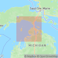
- St. Ignace formation
- Modifications:
-
- Named
- Dominant lithology:
-
- Dolomite
- AAPG geologic province:
-
- Michigan basin
Summary:
Named the St. Ignace formation in the Bass Islands group for St. Ignace, Mackinac Co., northern MI. Consists of even-bedded, very light gray, cream-colored, and light-buff dolomite in lower part, and thick-bedded, buff dolomite overlying thick-bedded, light-gray dolomite in upper part. As a result of collapse of rocks in this region, large parts of the St. Ignace are present in the Mackinac breccia. Thickness of exposed section is 10 to 76 feet; however, probable order of superposition of the strata exposed in many blocks of the Mackinac breccia indicates that thickness may not be less than 250 feet and not more than 300 feet. Overlies Pointe aux Chenes formation and underlies Garden Island formation. The St. Ignace is of Late Silurian age.
Source: GNU records (USGS DDS-6; Reston GNULEX).
For more information, please contact Nancy Stamm, Geologic Names Committee Secretary.
Asterisk (*) indicates published by U.S. Geological Survey authors.
"No current usage" (†) implies that a name has been abandoned or has fallen into disuse. Former usage and, if known, replacement name given in parentheses ( ).
Slash (/) indicates name conflicts with nomenclatural guidelines (CSN, 1933; ACSN, 1961, 1970; NACSN, 1983, 2005, 2021). May be explained within brackets ([ ]).